GOES-19 is on station at the GOES-East location
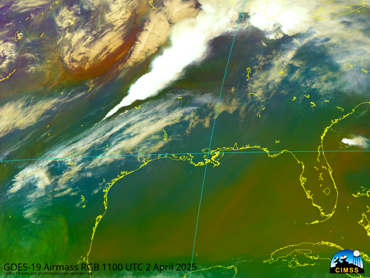
GOES-19, scheduled to become the operational GOES-East satellite on 4 April (Friday morning) no earlier than 7 April (updated on 3 April because of a Critical Weather Day), is now on station at 75.2oW and broadcasting data. GOES-16, to be replaced, has been shifted slightly westward; data from both satellites... Read More