Viewing the atmosphere around Iceland with JPSS Satellites and Polar2Grid
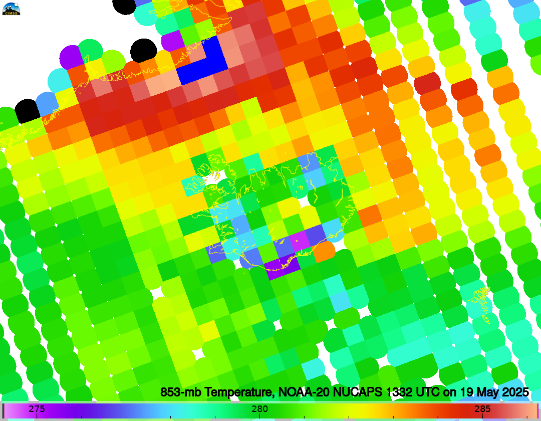
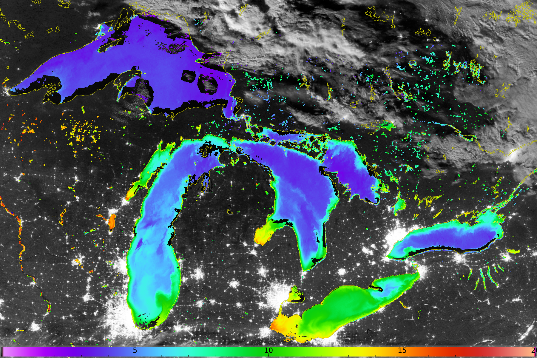
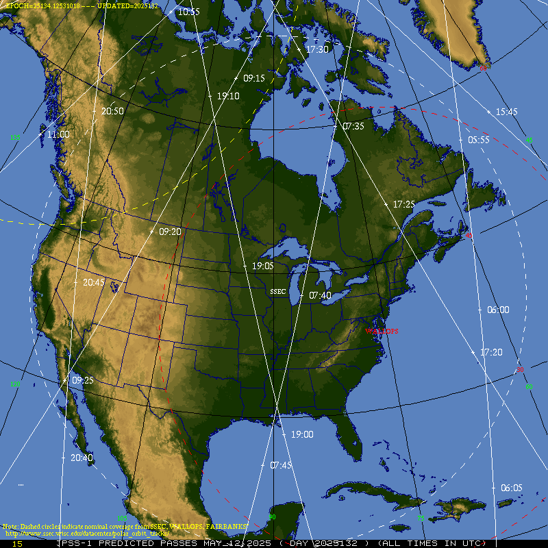
Iceland enjoyed a remarkable string of clement weather in mid-May. The true-color animation below, taken from the NASA Worldview site, shows almost a fortnight of clear skies!VIIRS gives a high-resolution view of the surface and cloud features as shown above. JPSS satellites carry sounder instruments used to create NUCAPS data; NUCAPS profiles... Read More
