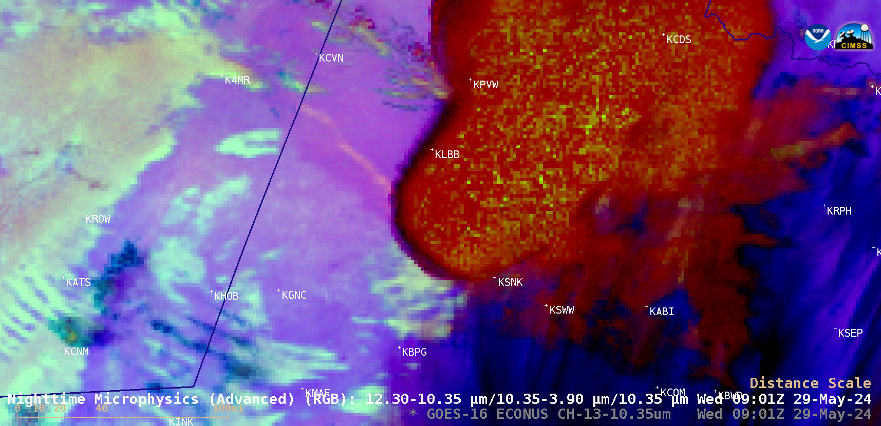
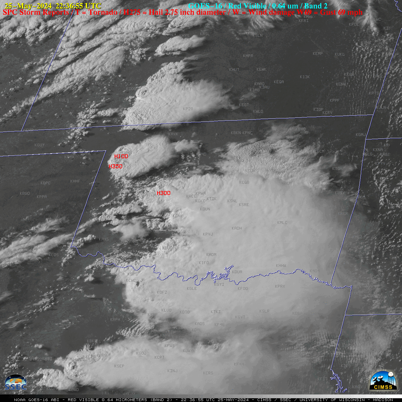
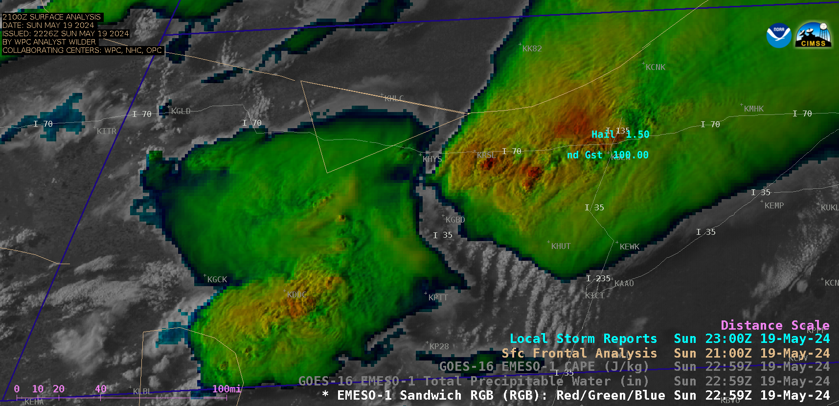
Severe thunderstorms in the northern High Plains
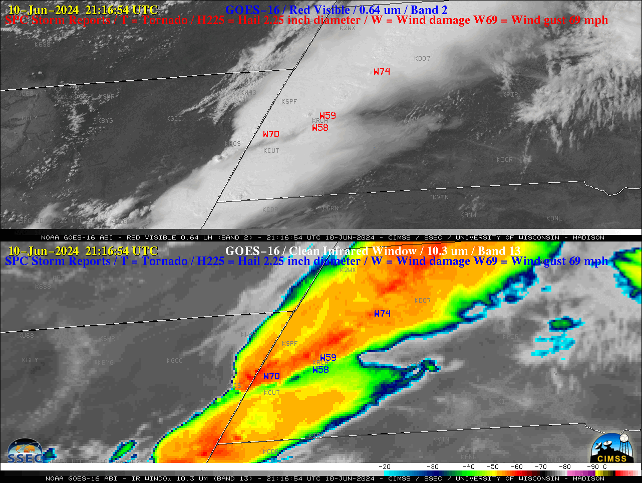
1-minute Mesoscale Domain Sector GOES-16 (GOES-East) “Red” Visible (0.64 µm) and “Clean” Infrared Window (10.3 µm) images (above) showed thunderstorms that produced hail as large as 1.75 inch in South Dakota along with wind gusts as high as 75 mph in Wyoming and Nebraska, and 74 mph in South Dakota (SPC Storm Reports | KUNR Local Storm Reports) on 10 June 2024. The... Read More