GOES-16 ABI Mesoscale Sector imagery and GLM data with strong thunderstorms over Wisconsin
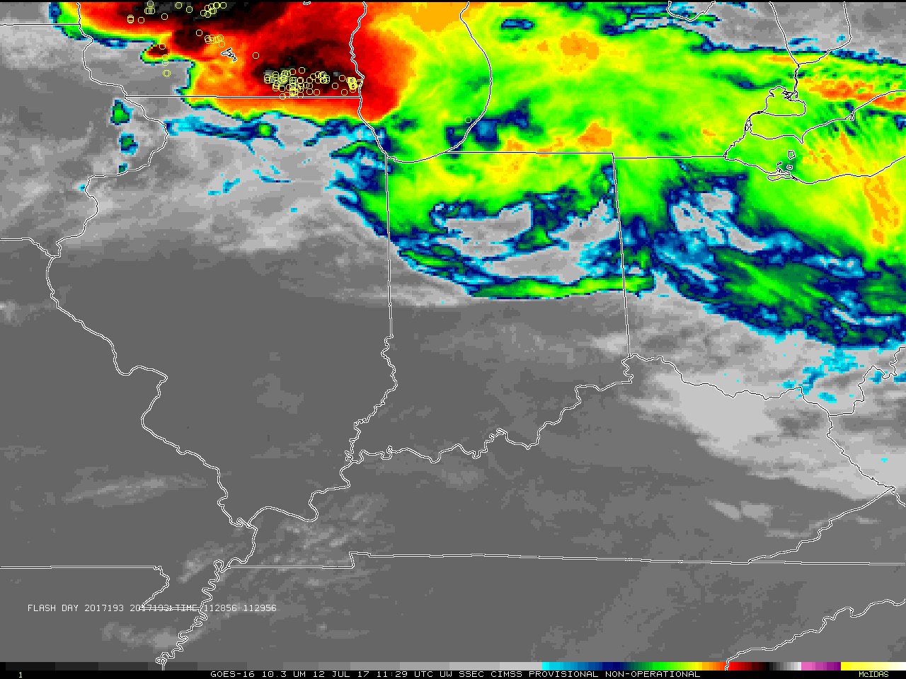
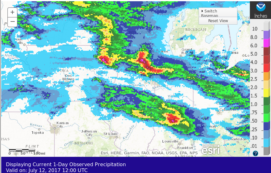
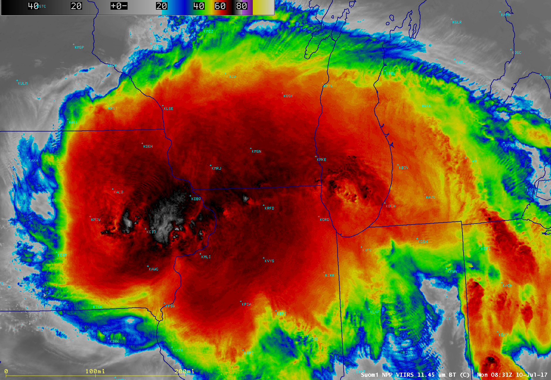
GOES-16 ABI and GLM data posted on this page are preliminary, non-operational and are undergoing testingStrong morning thunderstorms with a few severe weather reports, and abundant heavy rain (24-h totals ending 1200 UTC on 12 July 2017, from here), spread over the northern part of the GOES-16 default western Mesoscale Sector on the morning of 12 July 2017. The animation above shows the GOES-16 Advanced... Read More
