Florence produces record rainfall in North Carolina and South Carolina
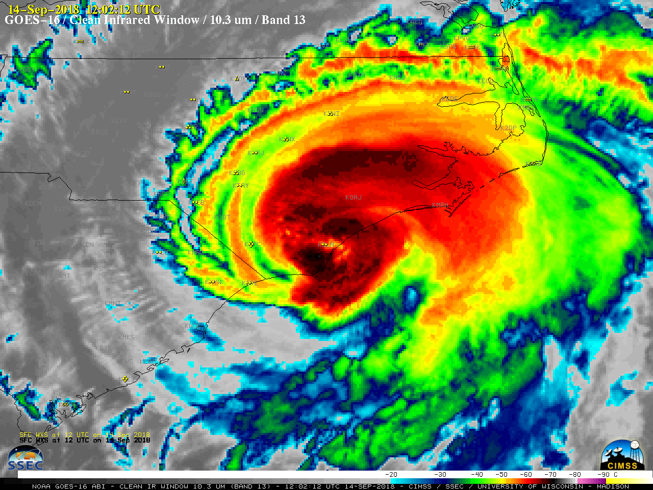
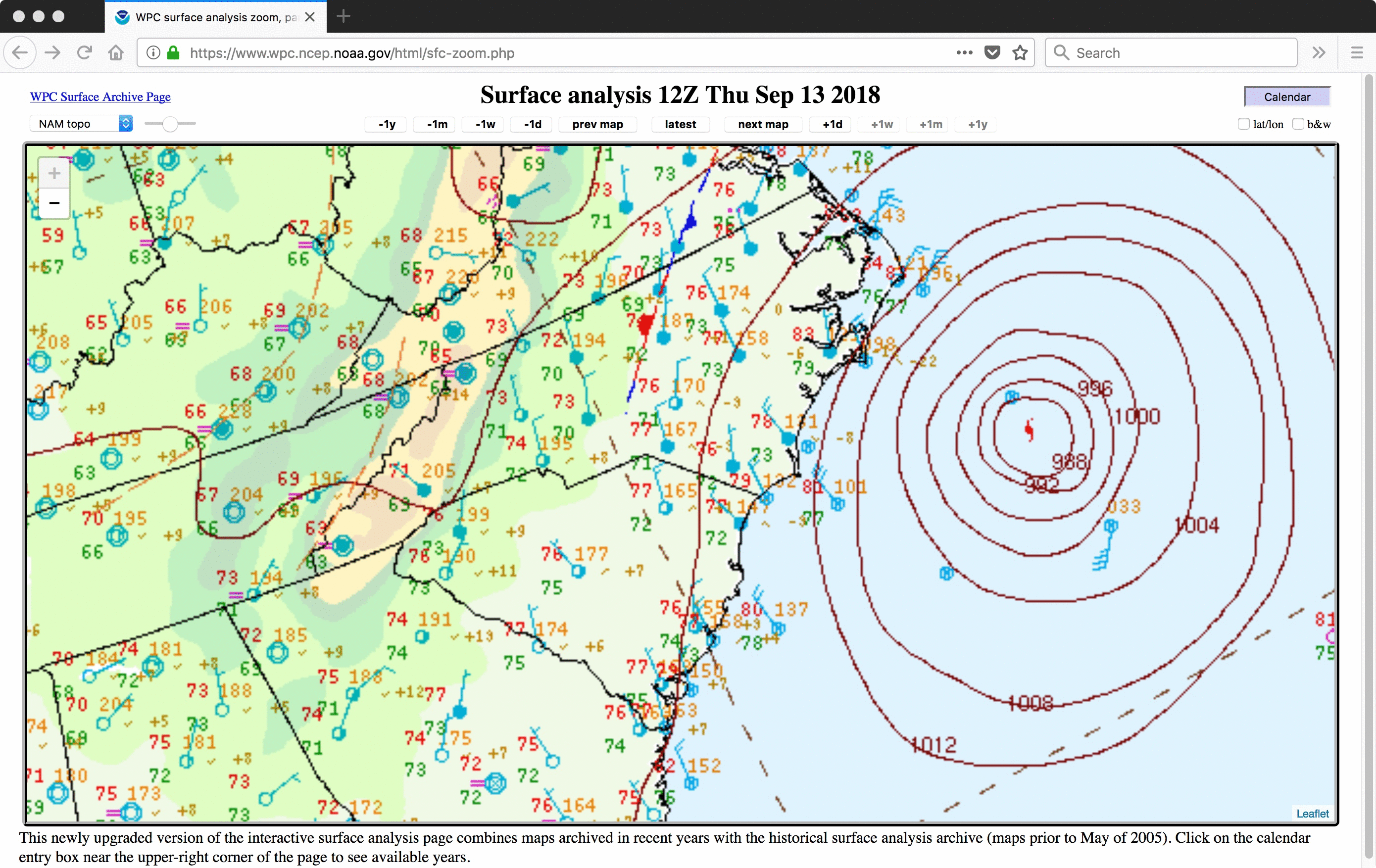
After Hurricane Florence made landfall in North Carolina during the morning hours on 14 September, it moved very slowly (at times only 2-3 mph) southwestward into South Carolina during 15-16 September (surface analyses). Prolonged heavy rainfall resulted (WPC summary), with new state records (see below) for precipitation from a tropical cyclone being set in... Read More
