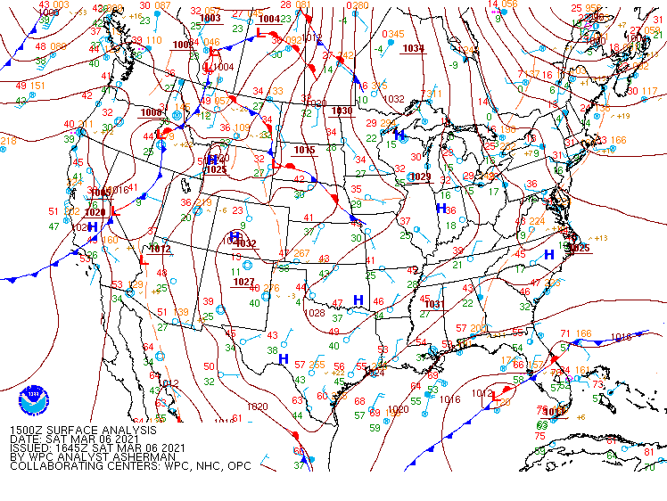
Hail Storm in Daytona Beach
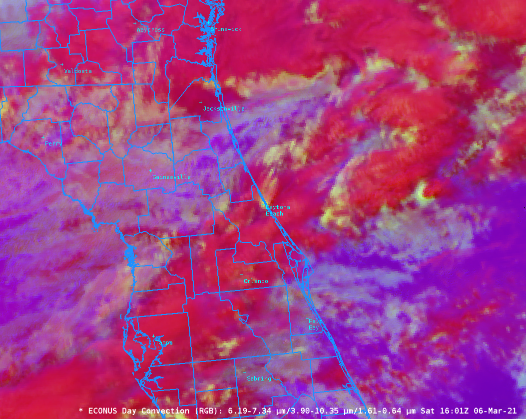
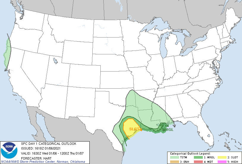
Accumulating hail fell in Daytona Beach FL (Link) on 6 March 2021 in association with a front over the Florida peninsula. Preliminary storm reports from SPC (link) show reports of 1″ to 1.75″ hail. (The region was under a general thunderstorm outlook from SPC: link). The animation above shows the Convection RGB from 1431 through 1701... Read More
