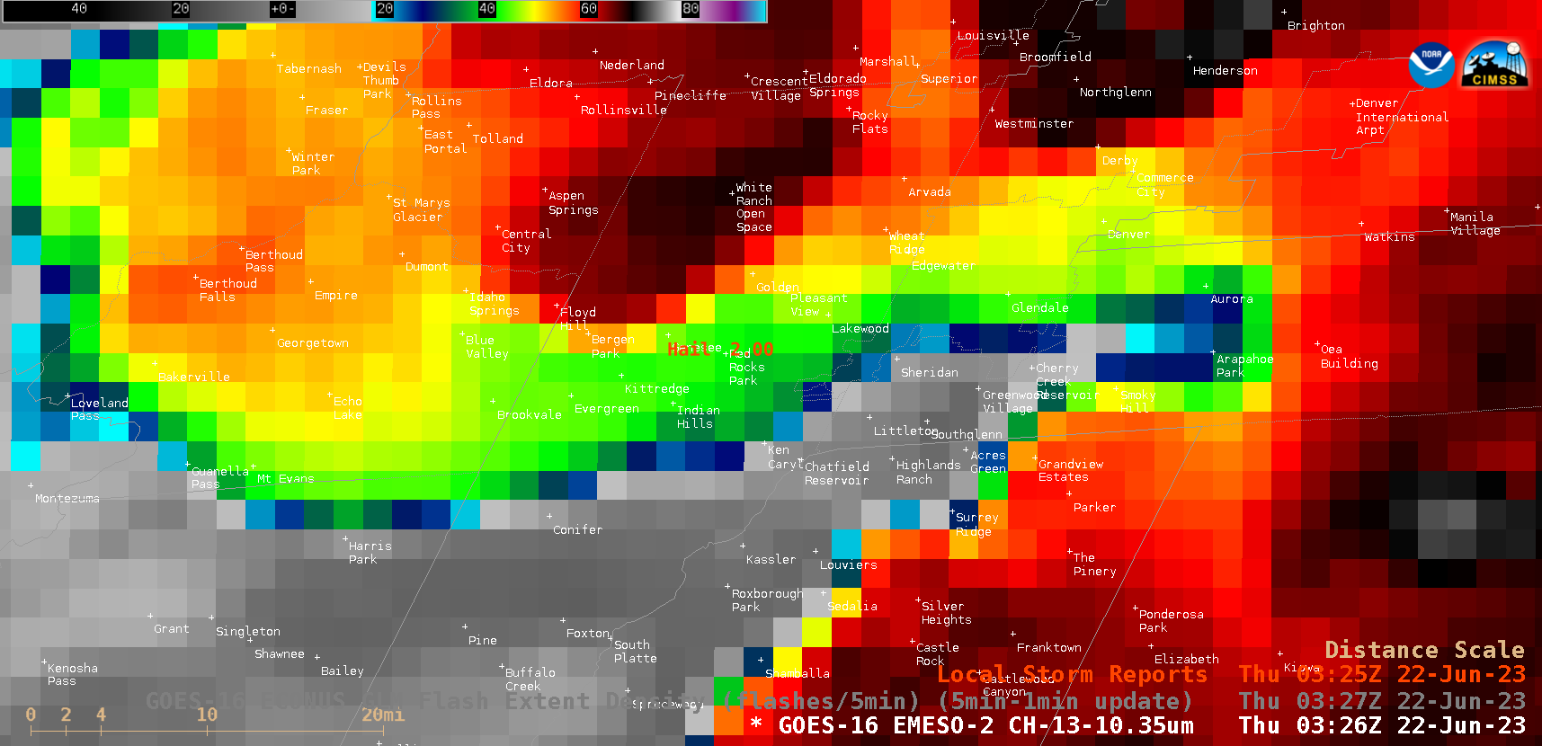
ProbSevere with Large Hail at a Red Rocks Amphitheater Concert
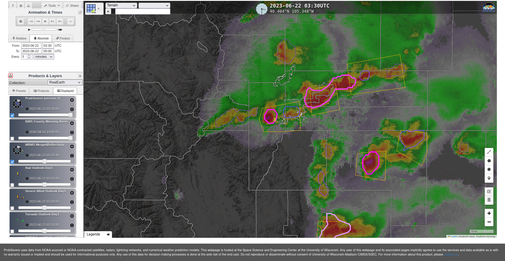
Large hail caused multiple injuries at the Red Rocks Amphitheater to the west of Denver on 21 June 2023 (News story 1, 2, 3; see also this tweet from the NWS in Boulder at 0326 UTC). This occurred in a region that the Storm Prediction Center flagged as in an atmosphere with an Enhanced Risk of severe weather. The... Read More