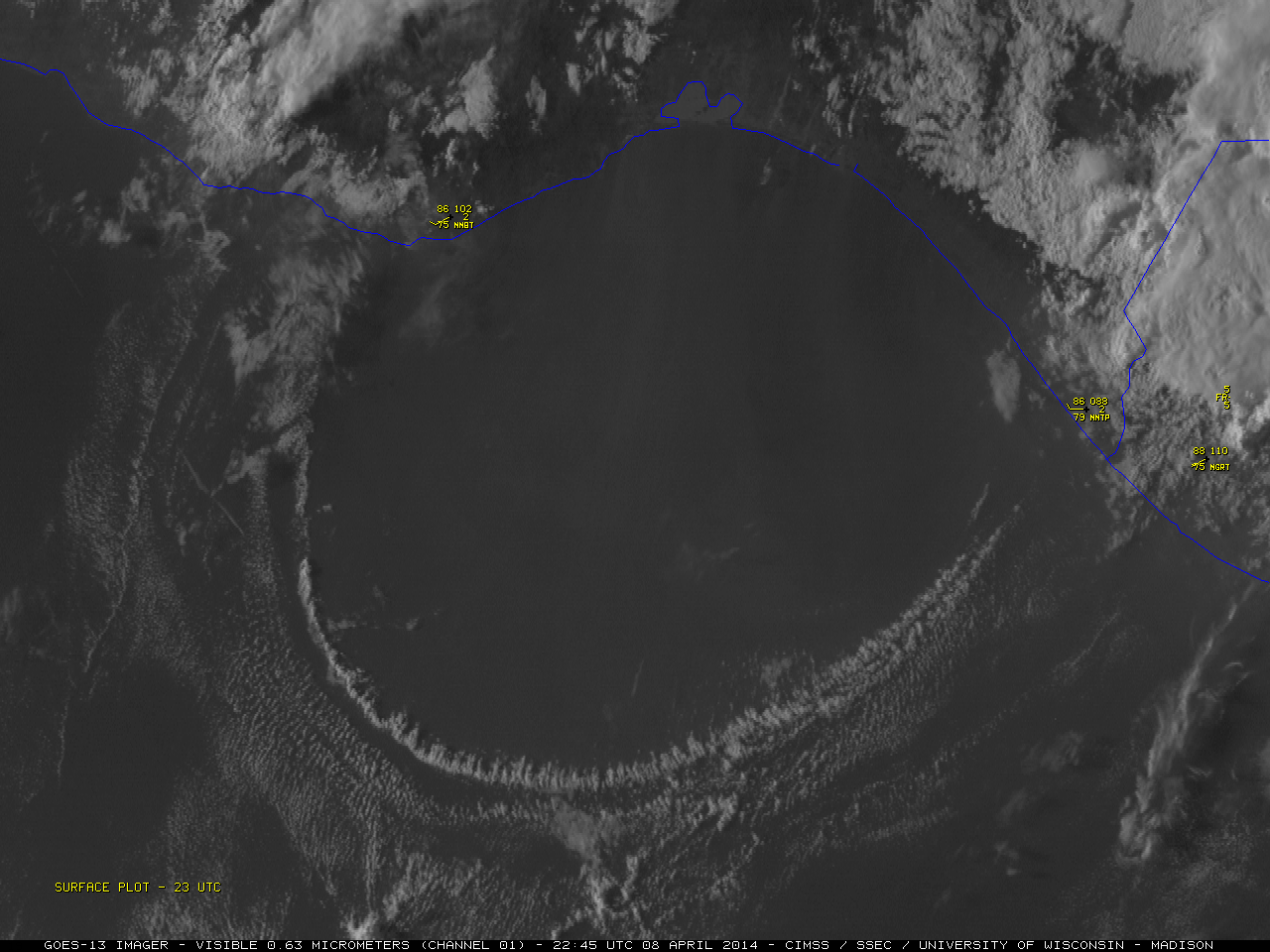
This website works best with a newer web browser such as Chrome, Firefox, Safari or Microsoft Edge. Internet Explorer is not supported by this website.

Category: Satellite winds

Hurricane Barbara

McIDAS images of GOES-14 0.63 µm visible channel data (above; click image to play animation) showed Tropical Storm Barbara as it intensified to Category 1 hurricane shortly before making landfall along the coast of the Gulf of Tehuantepec in southeastern Mexico on Read More

Ice motion in the Bering Sea off the coast of Alaska

A large and intense area of low pressure was located in the Gulf of Alaska on 18 December 2012 (above), which was forecast to produce areas of hurricane-force winds west and southwest of the storm center.A comparison of AWIPS images of Suomi NPP VIIRS 0.7 µm Day/Night Band images (below)... Read More