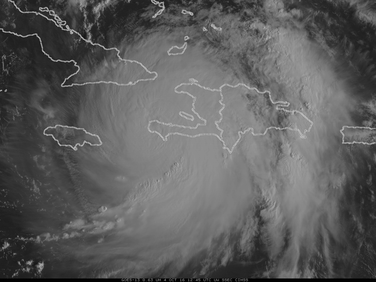
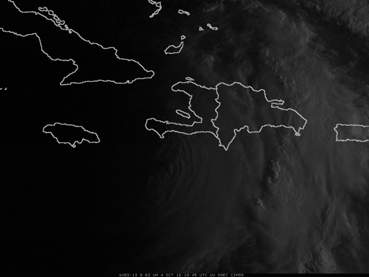
Hurricane Matthew moves into the Bahamas
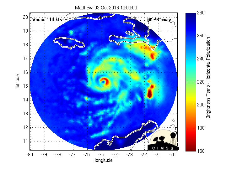
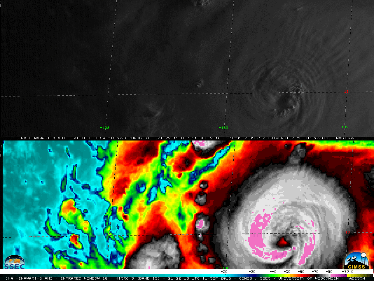
The animation of Matthew, above, from morphed microwave imagery (from this site), shows the toll that interaction with the high terrain of Hispaniola and eastern Cuba has had on the storm (causing it to be downgraded from Category 4 to Category 3 intensity). The formerly distinct eye had eroded, although eye re-formation... Read More
