This website works best with a newer web browser such as Chrome, Firefox, Safari or Microsoft Edge. Internet Explorer is not supported by this website.

Category: Satellite winds

SAR data views of the North Wall of the Gulf Stream

Sentinel-1A’s overpass just east of North Carolina right after sunset on 23 April 2023, above, shows a sharp delineation in wind speeds, with wind speeds at the western edge of the SAR winds dropping from around 8-9 knots (cyan enhancement) to 2-3 knots (magenta enhancement). The animation below includes the... Read More

Cyclone Ilsa makes landfall in Australia

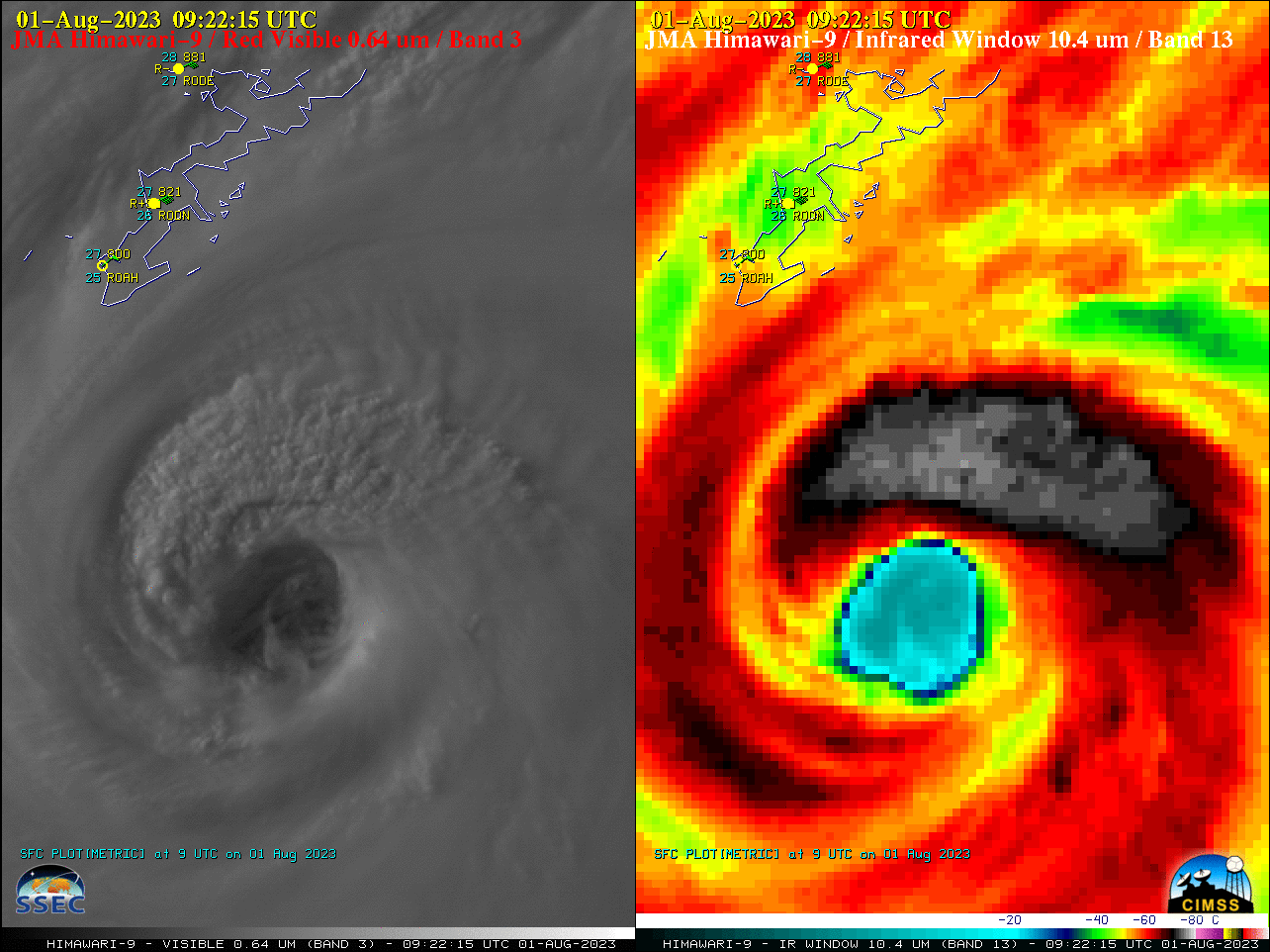
2.5-minute rapid scan (Target Sector) JMA Himawari-9 “Red” Visible and “Clean” Infrared Window images (above) showed Category 4 Cyclone Ilsa as it approached the northwest coast of Australia, eventually making landfall near Port Hedland (station identifier YPPD) just after 1500 UTC on 13 April 2023. Overshooting tops within the eyewall... Read More

Banded wind structures over Lake Huron

The SAR wind analysis above shows curious banded wind features over central Lake Huron. The bands have a vertical separation of around 10 km and exist just south of essentially calm winds (magenta in the enhancement used). Peak winds within the bands 8-10 m/s, and the (weaker) winds in between... Read More