This website works best with a newer web browser such as Chrome, Firefox, Safari or Microsoft Edge. Internet Explorer is not supported by this website.

Category: SAR

SAR data over Guam (part IV)
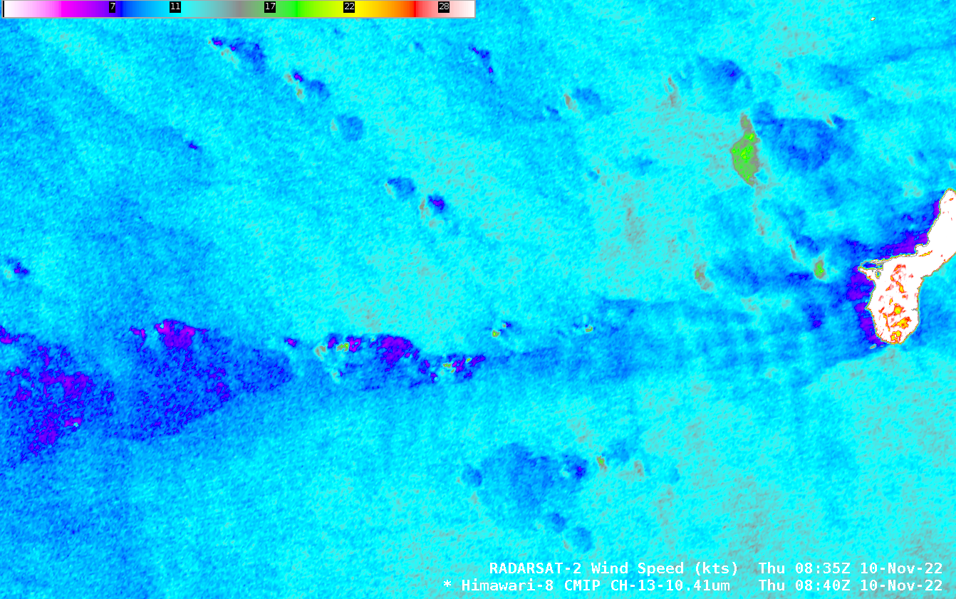
RADARSAT-2 overflew Guam early on 10 November 2022, and the toggle above shows both Himawari-8 imagery at that time with the SAR wind estimates overlain. This was a time of light winds and minimal shower activity. It’s interesting that the wake of weak winds downwind of the islands of Guam... Read More
SAR data over Guam

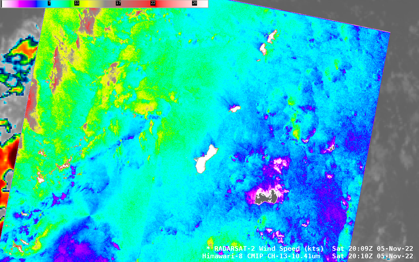
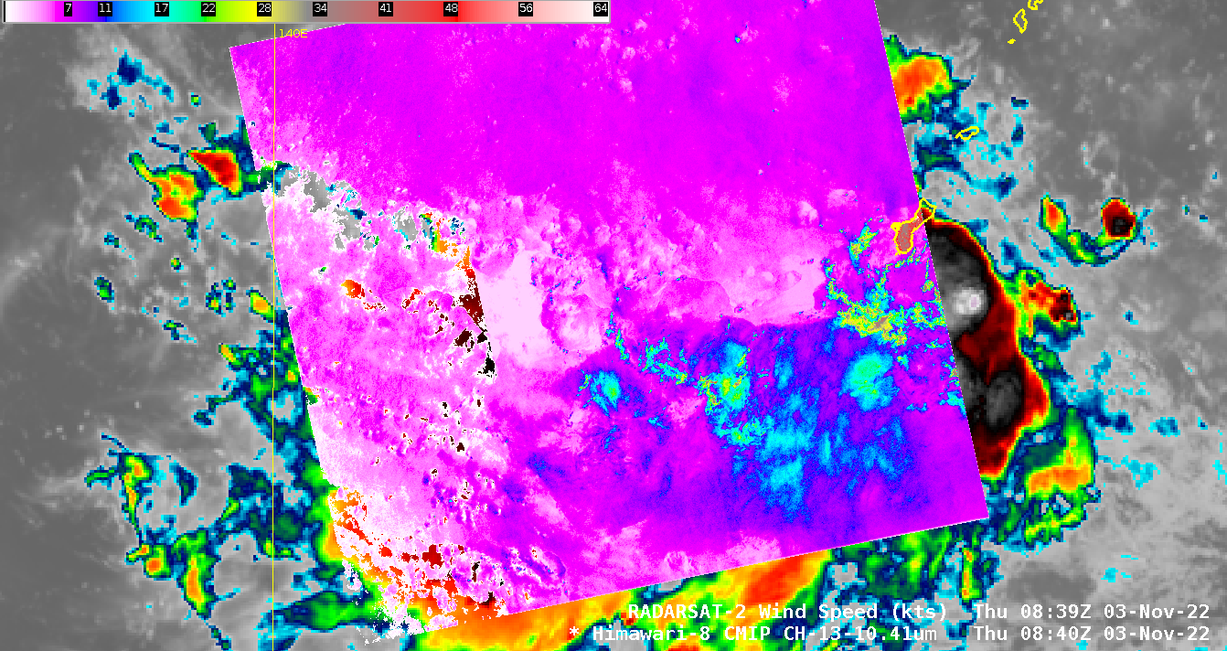
After a request from the National Weather Service Pacific Region, Synthetic Aperture Radar (SAR) data are available over/around Guam. These data are available at this NOAA/NESDIS website, and also via anonymous ftp from ftp.star.nesdis.noaa.gov. There will be 10 overpasses between 1 and 24 November. The first RADARSAT overpass occurred at 0839 UTC on... Read More

Low-Earth Orbit satellite views of Ian as it formed, and comparisons to Geostationary imagery

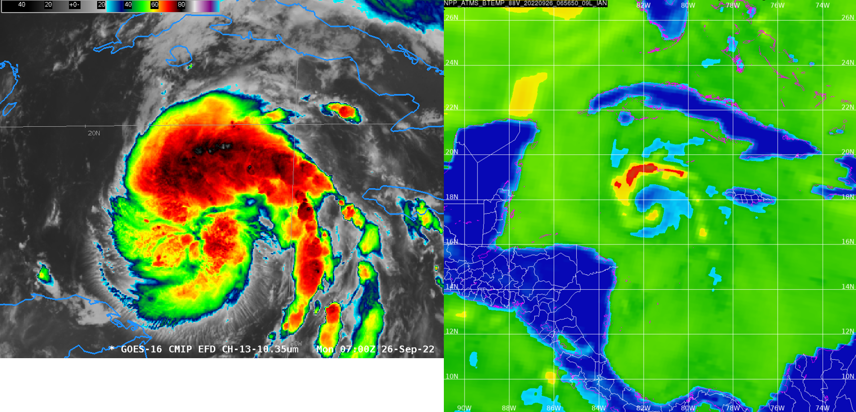
Polar-orbiting satellites have microwave detectors that give important information about the low-level structure of an evolving tropical cyclone. If high clouds are omnipresent, it can be difficult for an analyst to diagnose storm strength with accuracy. Microwave energy penetrates clouds, however, and low-earth orbit (LEO) observations of microwave frequencies can... Read More