This website works best with a newer web browser such as Chrome, Firefox, Safari or Microsoft Edge. Internet Explorer is not supported by this website.

Category: Red-Green-Blue (RGB) images

Blowing dust in West Texas

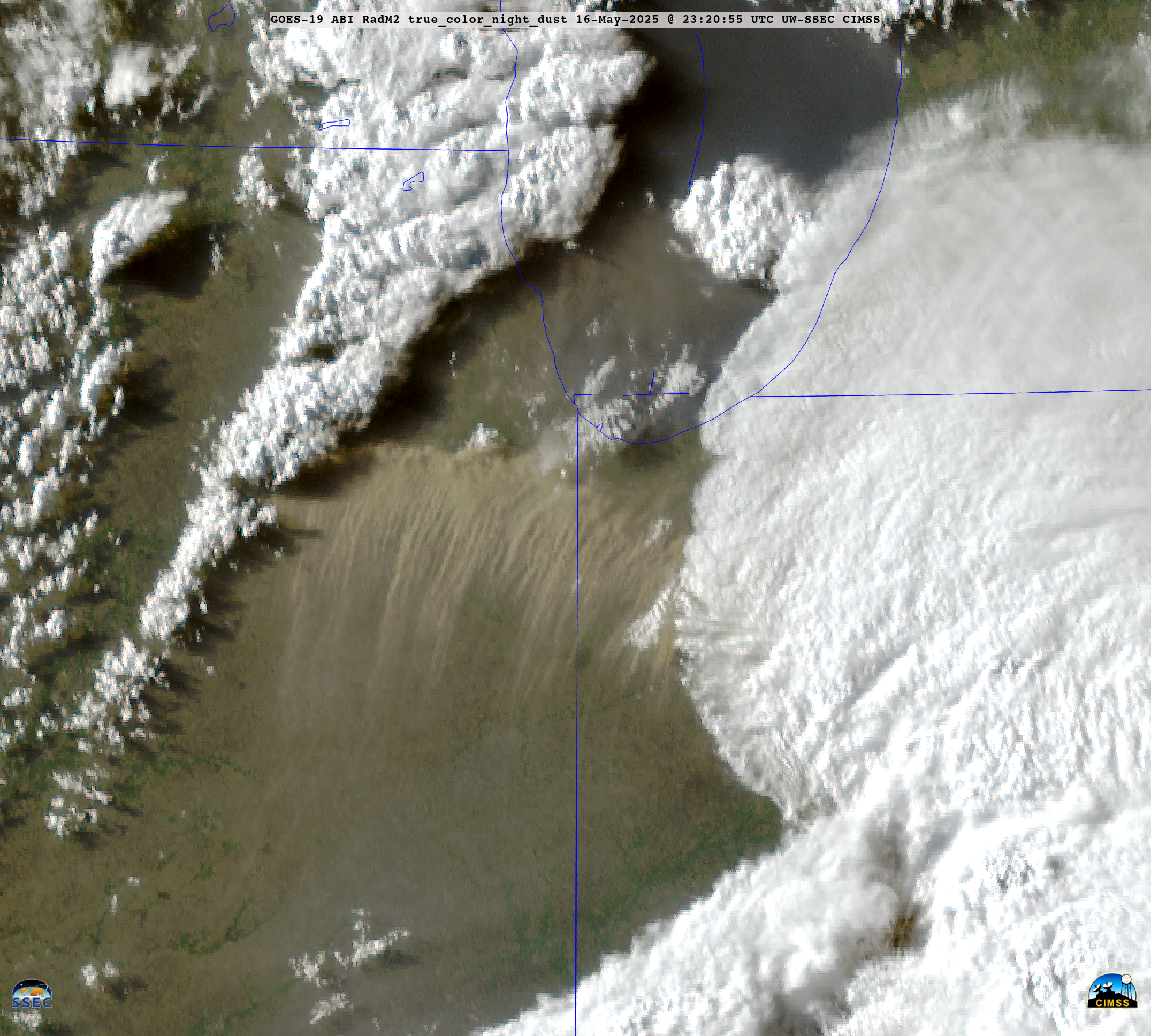
5-minute CONUS Sector GOES-16 (GOES-East) Ash RGB images (above) showed a pulse of blowing dust — lofted by thunderstorm outflow winds gusting as high as 70 kt (81 mph) — that was moving southward across West Texas late in the day on 16 May 2024. This dust reduced surface visibility to 1-1/4 mi... Read More

Flooding Rains on Oahu

A 16-hour animation using 5-minute GOES-18 PACUS imagery, above (saved from the Geosphere site) shows persistent convection along the east coast of Oahu on 13 May. MIMIC estimates of Total Precipitable Water on 13 May, below, show the state of Hawai’i surounded by abundant moisture, although the richest moisture within the... Read More

Smoke over the Gulf of Mexico

5-minute CONUS Sector GOES-16 (GOES-East) images of the Aerosol Optical Depth (AOD) derived product (above) showed very high AOD values of 1.0-1.8 over the Gulf of Mexico on 14 May 2024 — associated with dense smoke from ongoing seasonal burning activity in parts of Mexico and Central America. This smoke had been... Read More

Wildfires in British Columbia produce pyrocumulonimbus clouds

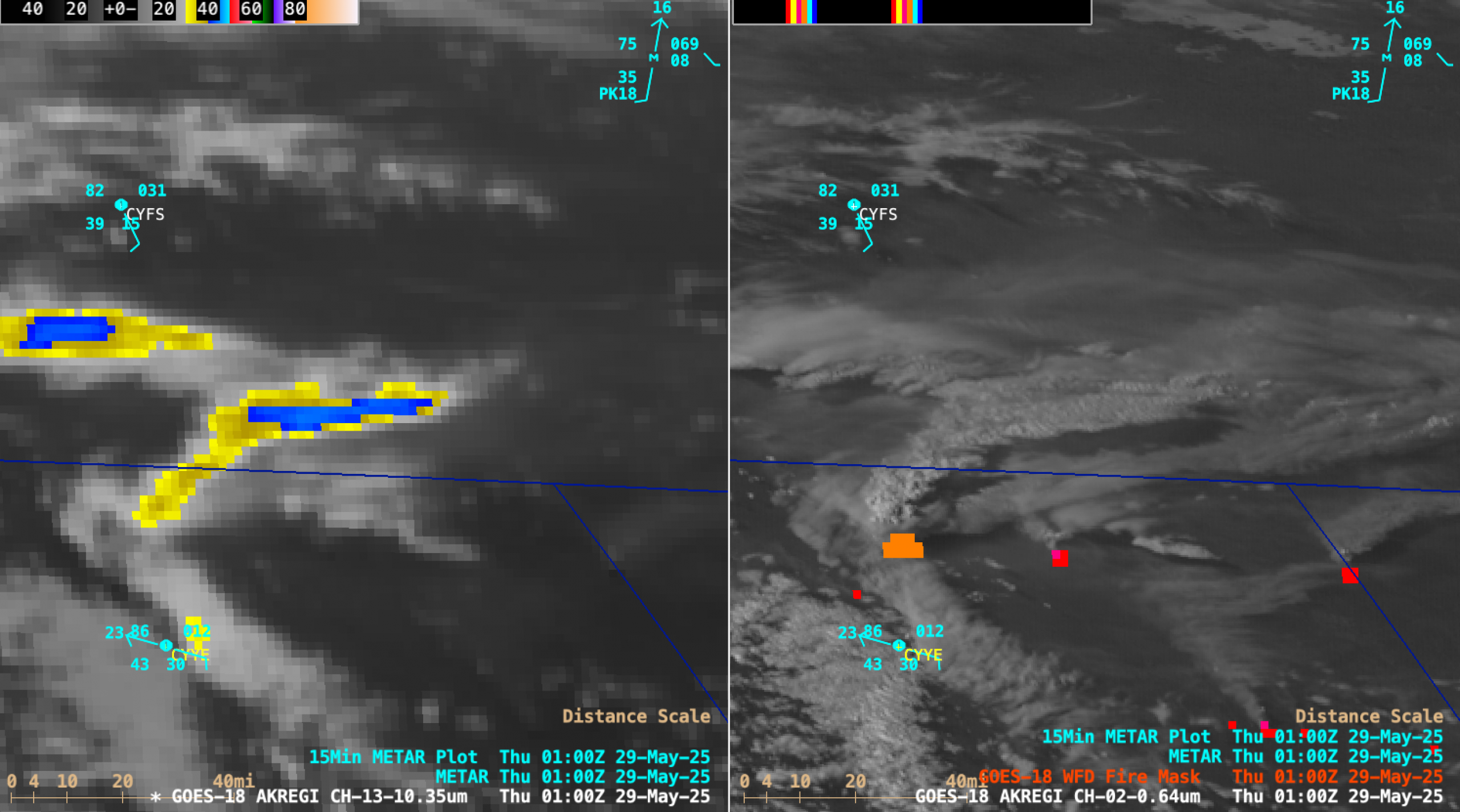
10-minute Full Disk sector GOES-18 (GOES-West) Day Land Cloud Fire RGB, Shortwave Infrared (3.9 µm), “Clean” Infrared Window (10.3 µm) and “Red” Visible (0.64 µm) + Fire Power derived product (a component of the GOES Fire Detection and Characterization Algorithm FDCA) images (above) showed signatures of multiple wildfires across northeastern British Columbia, two of which produced  pyrocumulonimbus (pyroCb) clouds — having cloud-top... Read More