Strong winds in parts of northern Scotland and southern Norway
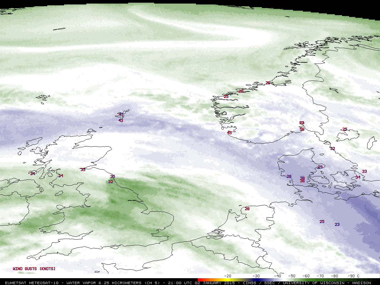
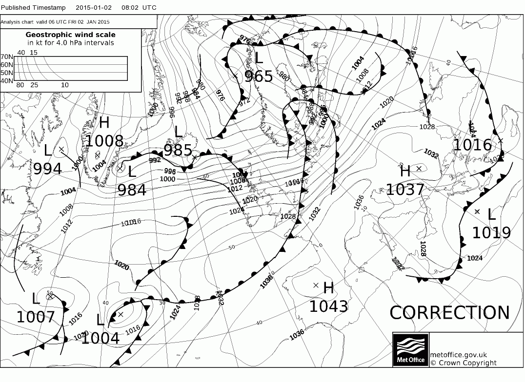
A band of strong westerly/northwesterly winds moved across northern Scotland and southern Norway on 02 January 2015 (surface analyses), with a number of locations reporting wind gusts in excess of 50-60 knots. The highest wind gust seen was 64 knots at the Read More

