Turbulence Impacting US Flights, Inspiring the Boston Red Sox

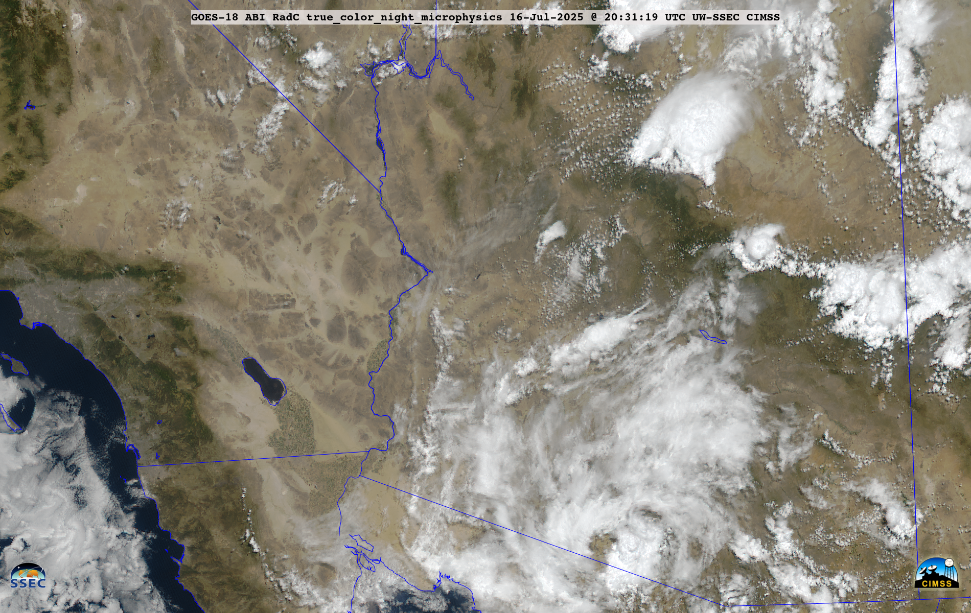
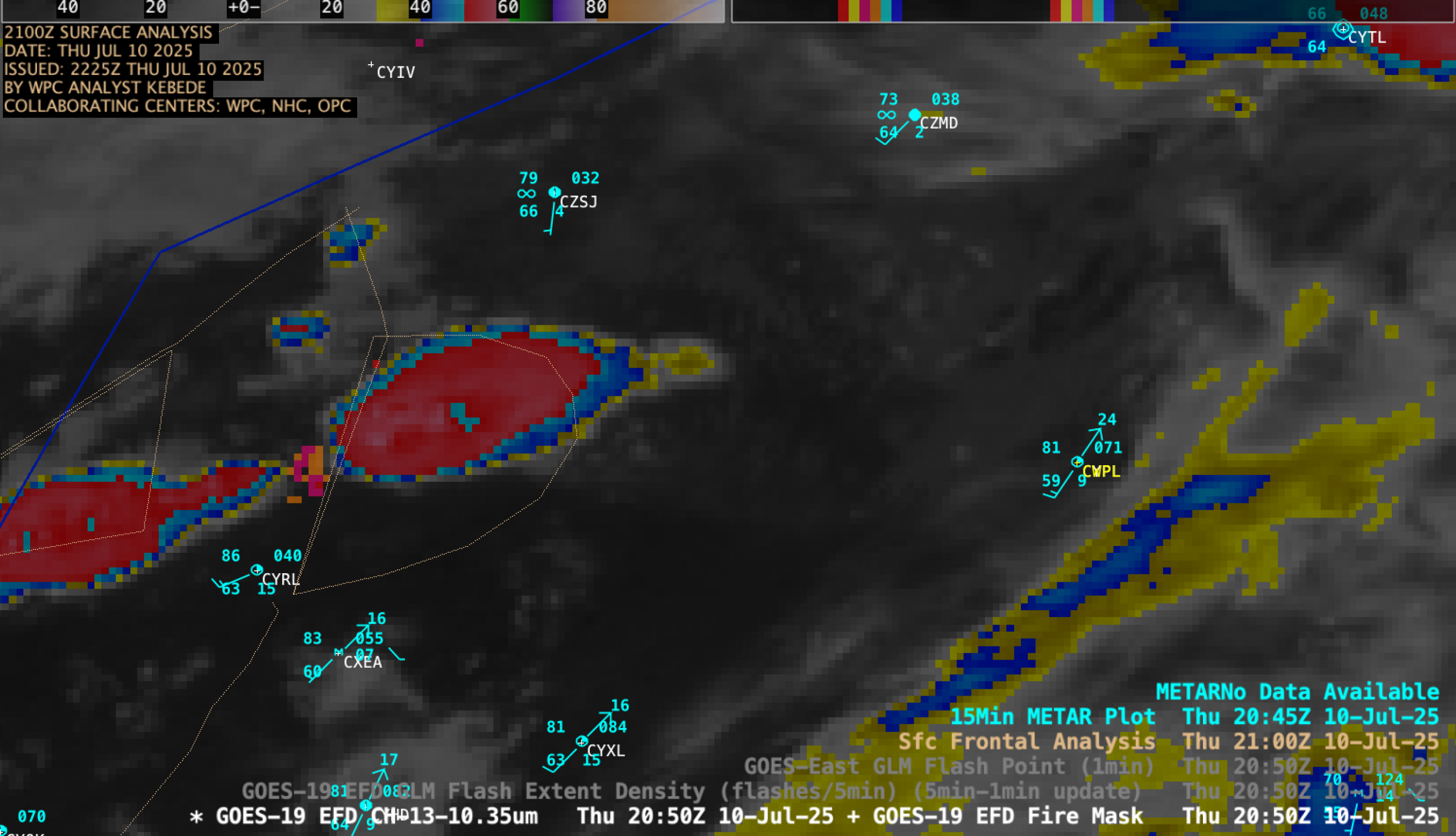
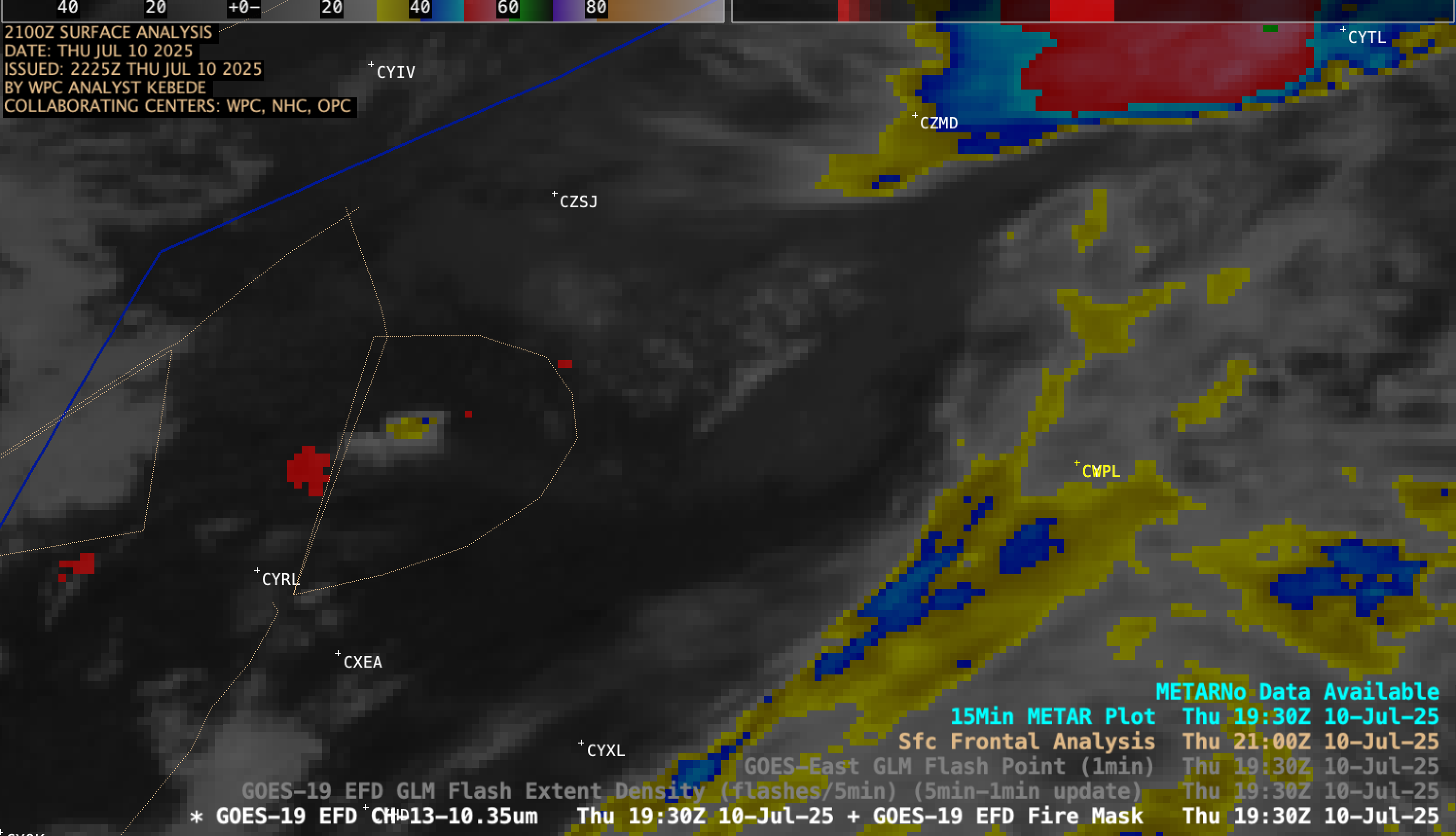
Significant convection across the northern continental United States has had some notable impacts on the aviation network over the past few weeks. On Wednesday, 30 July, Delta Flight 56 was en route from Salt Lake City, UT, with an intended destination of Amsterdam. Shortly after takeoff at 4:30 PM local... Read More

