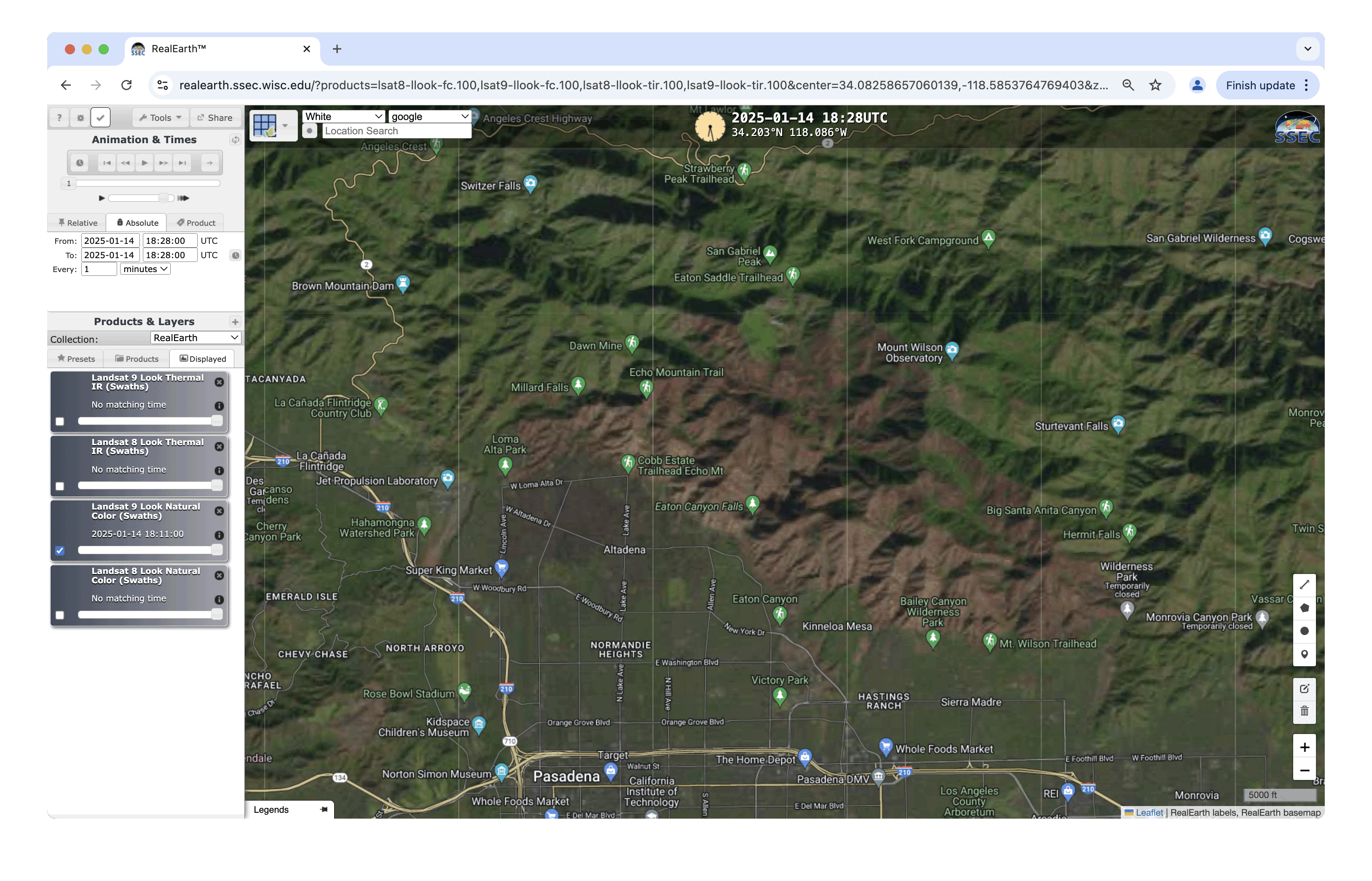
Landsat-9 images of the Palisades Fire and Eaton Fire burn scars in Los Angeles County, California

Landsat-9 Natural Color RGB image at 1828 UTC on 14th January, with and without labels [click to enlarge]
Around the time of the Landsat-9 imagery, the Palisades Fire had burned 23713 acres (and was 17% contained) — while the Eaton Fire had burned 14117 acres (and was 35% contained).
Landsat-9 Natural Color RGB image at 1828 UTC on 14th January, with and without labels [click to enlarge]