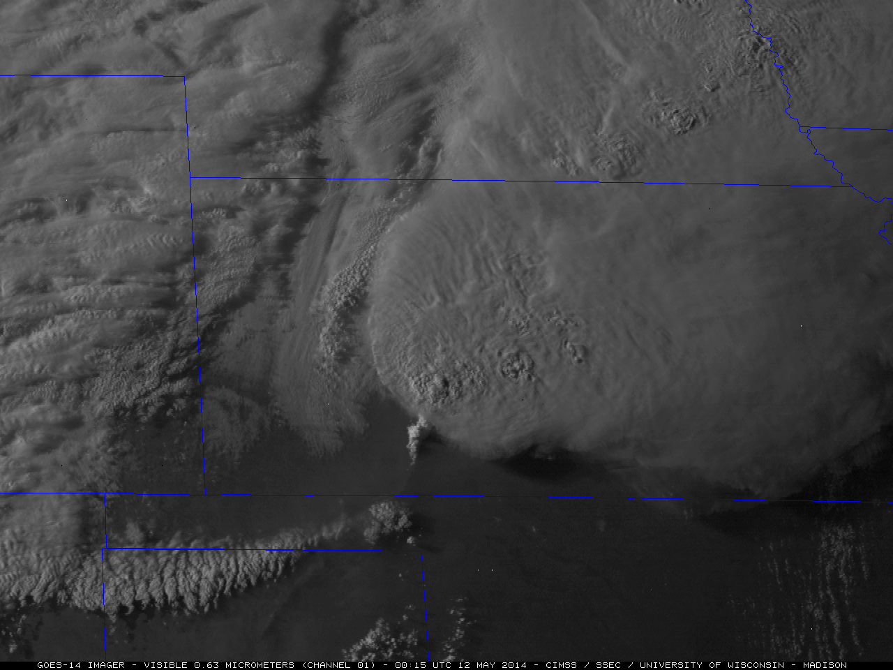
Large “hole punch cloud” over Wisconsin
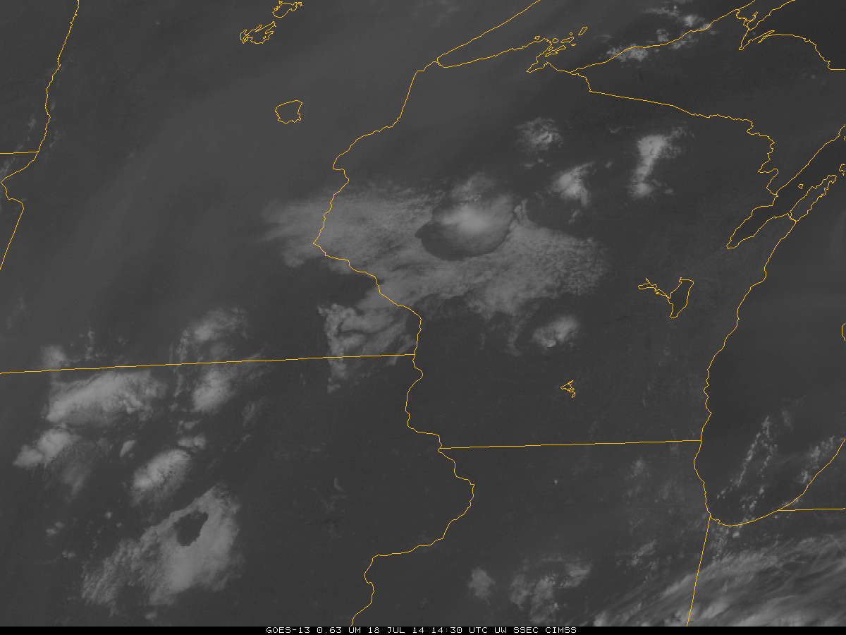
A large (approximately 50-mile diameter) “hole punch cloud” or “fall steak cloud” was seen over northwestern Wisconsin during the morning hours of 18 July 2014. An AWIPS 4-panel comparison of GOES-13 0.63 µm visible channel, 3.9 µm shortwave IR channel, 10.7 µm IR... Read More

