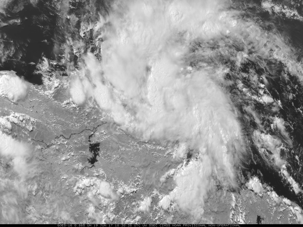
This website works best with a newer web browser such as Chrome, Firefox, Safari or Microsoft Edge. Internet Explorer is not supported by this website.

Category: POES

Hurricane Matthew: heavy rainfall and flooding across the Southeast and Mid-Atlantic US

Copious amounts of moisture associated with Hurricane Matthew resulted in heavy rainfall (map | text list) and widespread flooding across the Southeast and Mid-Atlantic US during the 07 October to 09 October 2016 period. Hourly images of the MIMIC Total Precipitable Water (TPW) product (above; also available as a 22 Mbyte animated GIF) showed the high TPW values that... Read More

Hurricane Matthew

Early morning visible imagery over Matthew, above, from GOES-13, shows a circular storm with many overshooting tops and no apparent eye. However, Microwave imagery, below, from GCOM at about 0620 UTC, shows an eye structure beneath the clouds. (Information on AMSR-2 is here; Imagery was produced using Polar2Grid, part of... Read More