Mesovortices within the eye of Hurricane Iselle
GOES-15 0.63 µm visible channel images (above; click to play animation; also available as an MP4 movie) revealed the presence of mesovortices within the eye of Category 4 Hurricane Iselle on 04 August 2014. Mesovortices are sometimes seen in the eye and eyewall of tropical cyclones that are going through a period of intensification.
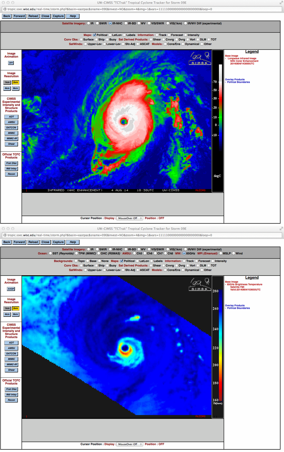
Before sunrise, a 10:30 UTC comparison of GOES-15 10.7 µm IR and TRMM TMI 85 GHz microwave images from the CIMSS Tropical Cyclones site (below) showed that Iselle was beginning to exhibit the appearance of an annular hurricane; note that the ring of high-intensity rainfall within the eyewall was much larger on the microwave image than the “cloud-free” eye that was seen on the IR image.
========================= Update, 5 August 2014 ==========================
Hourly imagery from 1300 UTC on 4 August to 1300 UTC 5 August shows Iselle maintaining a generally westward track. Cloud-top temperatures have warmed over the 24 hours shown, however, and the eyewall is becoming less distinct. Iselle’s path has been over SSTs that are progressively cooler. Further weakening is expected today.
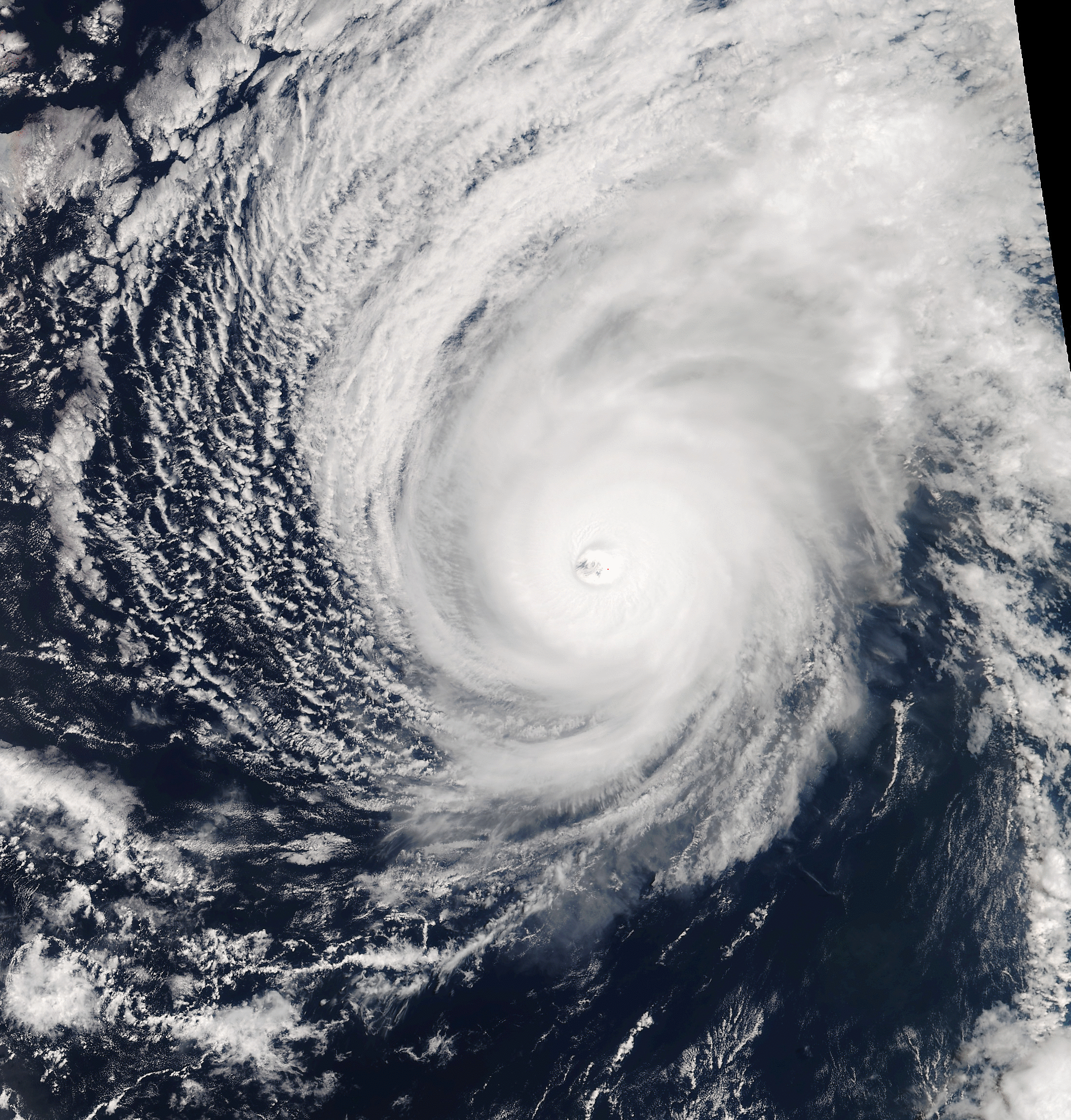
Suomi NPP overflew Iselle late in the afternoon of the 4th, and a true color image of the storm is shown below (Image Source: NOAA Hawaii X/L Antenna). A mesovortex can be identified in the eye in this high-resolution image.


