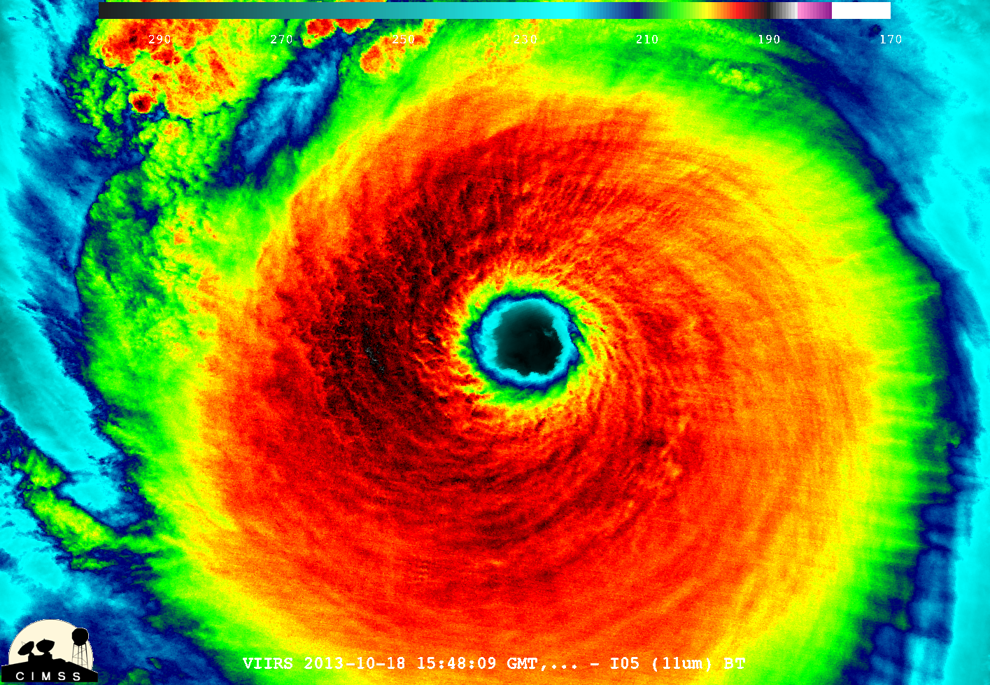
Super Typhoon Haiyan
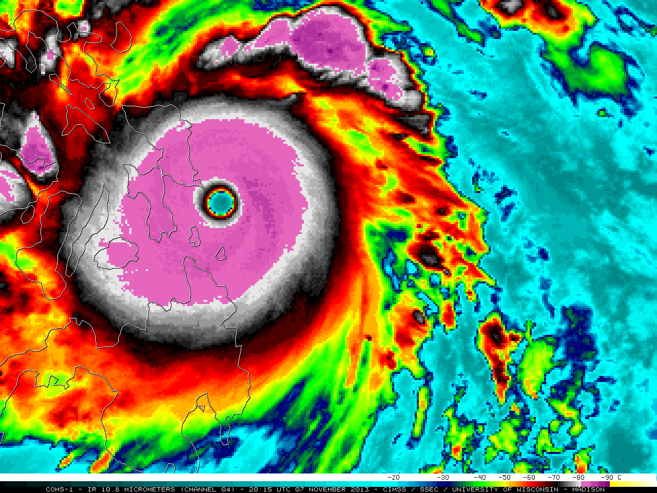
Super Typhoon Haiyan (31W) formed as a tropical depression at low latitudes in the West Pacific Ocean on 03 November 2013 — and by 18 UTC on 07 November was estimated to have peaked at an intensity of sustained 170 knot winds with gusts to 205 knots (Read More