Typhoon Wipha
McIDAS images of MTSAT-2 10.8 µm IR channel data (above; click image to play animation) showed the center of Typhoon Wipha moving just southeast of Japan on 15 October 2013. The asterisk at the center of the images denotes the location of Tokyo Narita International Airport — many areas in the Tokyo region received very heavy rainfall which caused flooding and mudslides. At Izu Oshima island just south of Tokyo, rainfall rates were as high as 11.8 mm (4.7 inches) per hour, with a 24-hour rainfall total of 824.9 mm (32.5 inches).
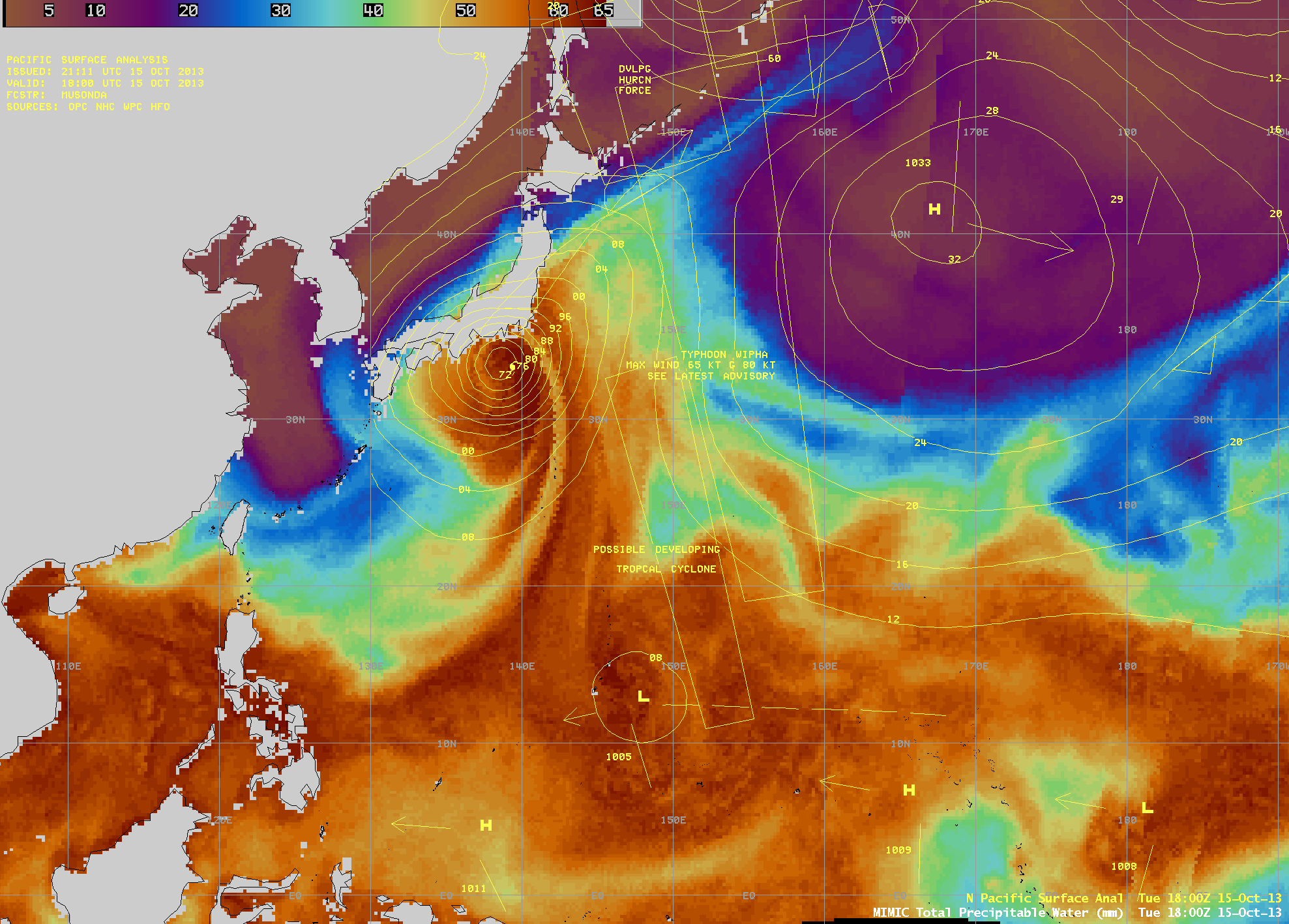
AWIPS images of the MIMIC Total Precipitable Water (TPW) product (below; click image to play animation) revealed the large amount of tropical moisture that was transported northward toward Japan as Wipha began its poleward recurvature. At the end of the animation Wipha began its extratropical transition as it merged with a cold front that was exiting Asia and beginning to move southeastward across the North Pacific Ocean.


