This website works best with a newer web browser such as Chrome, Firefox, Safari or Microsoft Edge. Internet Explorer is not supported by this website.

Category: Microwave

SAR winds over Tropical Storm Mirinae

Tropical Storm Mirinae, shown above, to the east of Japan (click here to see the same image with latitude/longitude lines), was overflown on 8 August by Radar Constellation Mission Satellite one (RCM-1) at 2013 UTC. The Synthetic Aperture Radar (SAR) imagery (from this site) is shown below, with both polarities. The two... Read More

Moist air over the tropical western Pacific Ocean

Microwave estimates of total precipitable water over the western Pacific Ocean (available here) show a moist airmass — out of which Typhoon In-Fa (seen near Taiwan in the animation) emerged — over the western Pacific Ocean. (The circulation of Tropical cyclone Cempaka is also apparent near the Gulf of Tonkin)... Read More

Elsa briefly regains hurricane intensity before making landfall along the Florida coast

Late in the day on 06 July 2021, Tropical Storm Elsa regained hurricane intensity as of 0000 UTC, just off the west coast of Florida. 
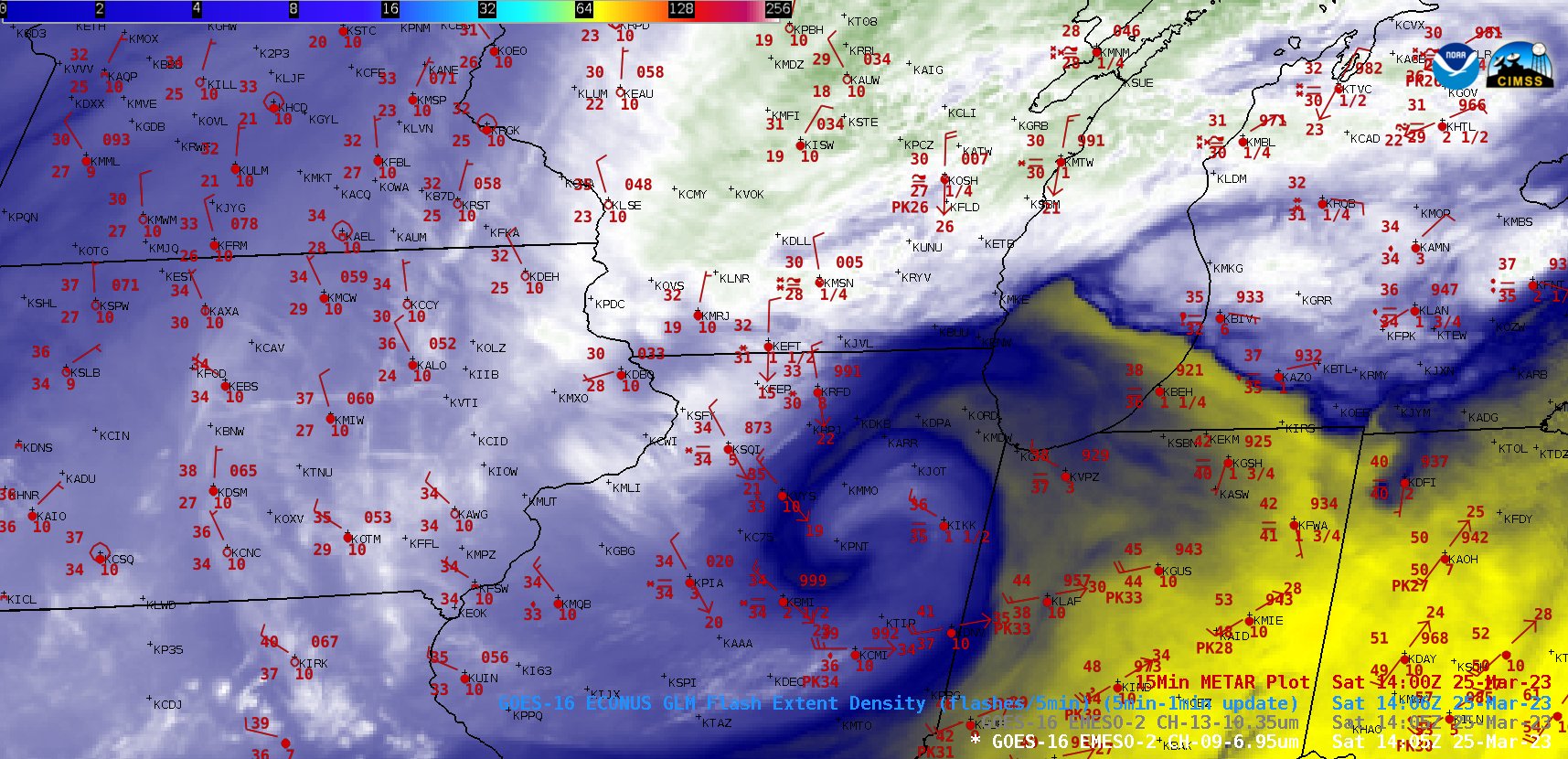
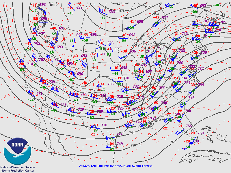
1-minute Mesoscale Domain Sector GOES-16 (GOES-East) “Red” Visible (0.64 µm) and “Clean” Infrared Window (10.35 µm) images (above) showed the tropical cyclone during the 1500 UTC to 0000 UTC time period. In the morning, cloud-top infrared brightness temperatures of -80ºC... Read More