ACSPO SSTs from Himawari-8 in AWIPS

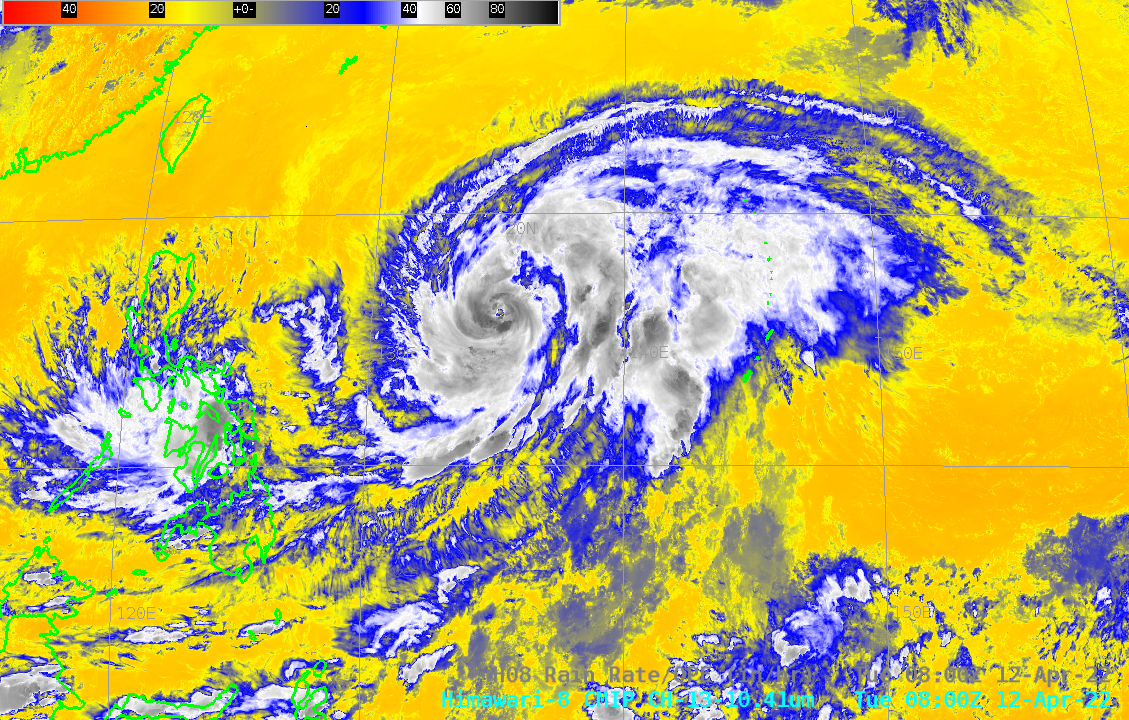
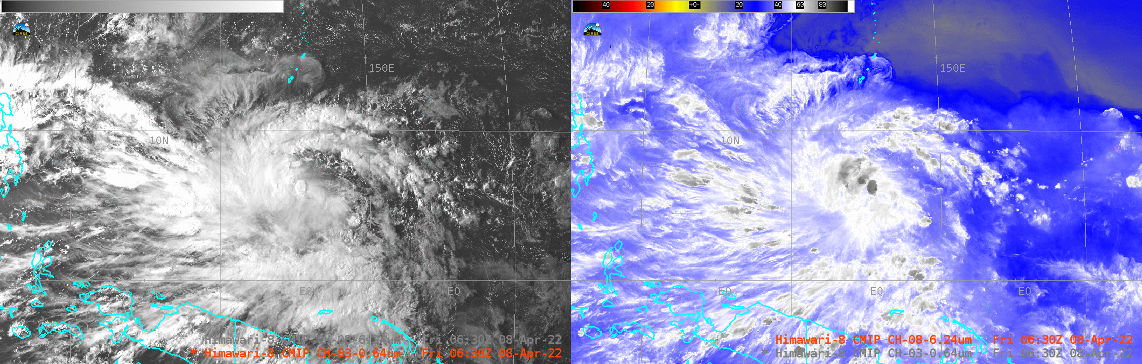
The image above toggles between Advanced Clear-Sky Processor for Ocean (ACSPO) sea-surface temperatures (created with AHI data from Himawari-8) overlain with AHI Band 3 (0.64 µm) visible imagery, and AHI Band 13 (10.41 µm) clean window infrared imagery. Sheared tropical Storm Malakas — in the midst of transition to an extratropical storm — is... Read More