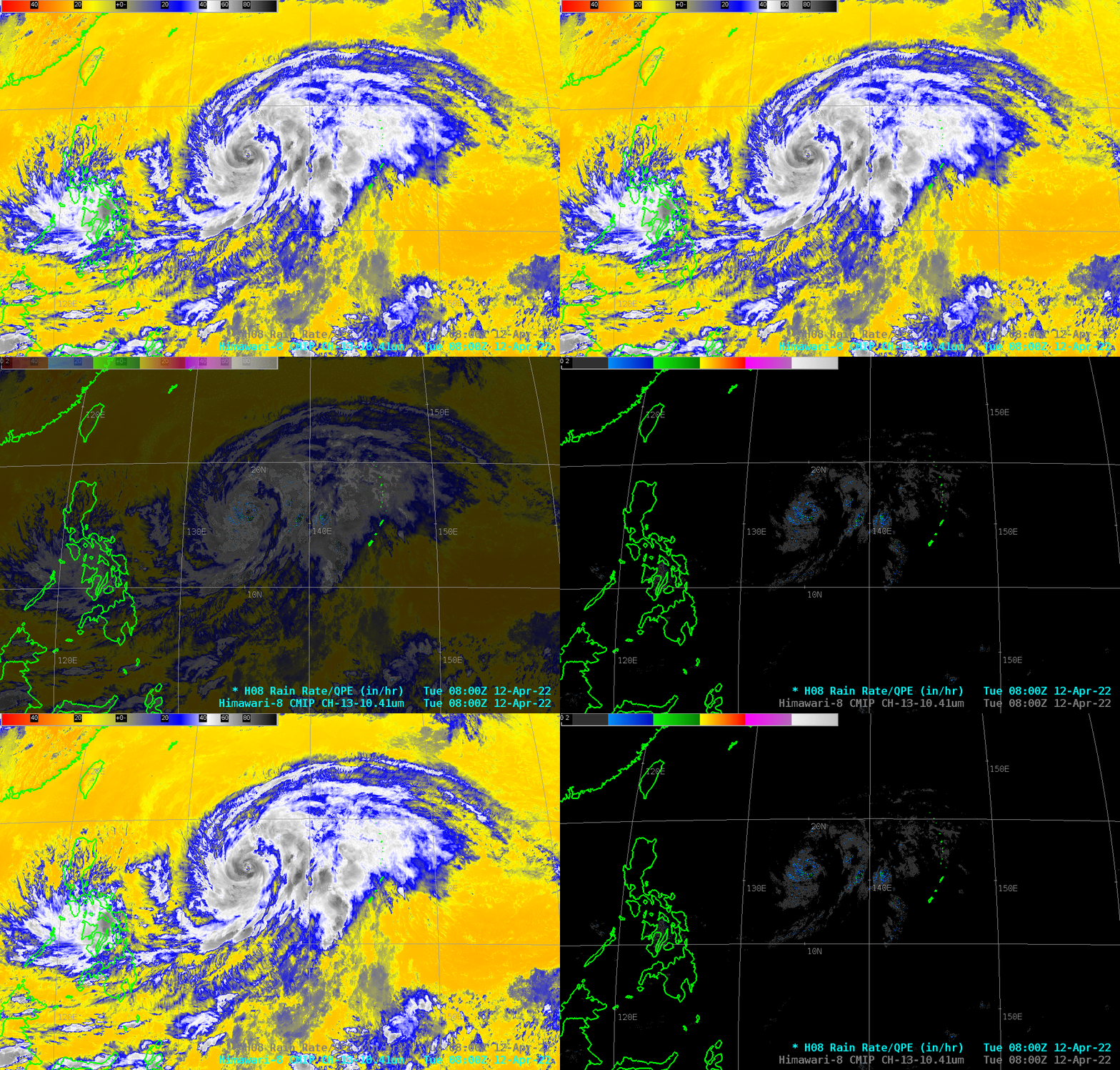
Himawari-8 Rain Rates in AWIPS with Typhoon Malakas

Typhoon Malakas in the western Pacific is shown above in Himawari-8 infrared imagery between Guam and the Philippines. It is a well-developed storm (albeit asymmetric) with an obvious eye. Level 2 Rain Rate from Himawari-8 is also shown; the heaviest precipitation is diagnosed to the southeast of the eye, and in rain bands to the east of the storm.
For more information on Malakas, refer to the SSEC/CIMSS Tropical Weather Website and the Joint Typhoon Warning Center.
Himawari imagery is courtesy JMA (Thank you!). Real-time sectorized Himawari imagery from the Meteorological Satellite Center of JMA is also available here.

