Tropical Disturbance south of Guam
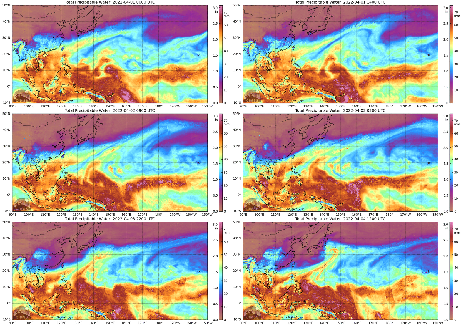
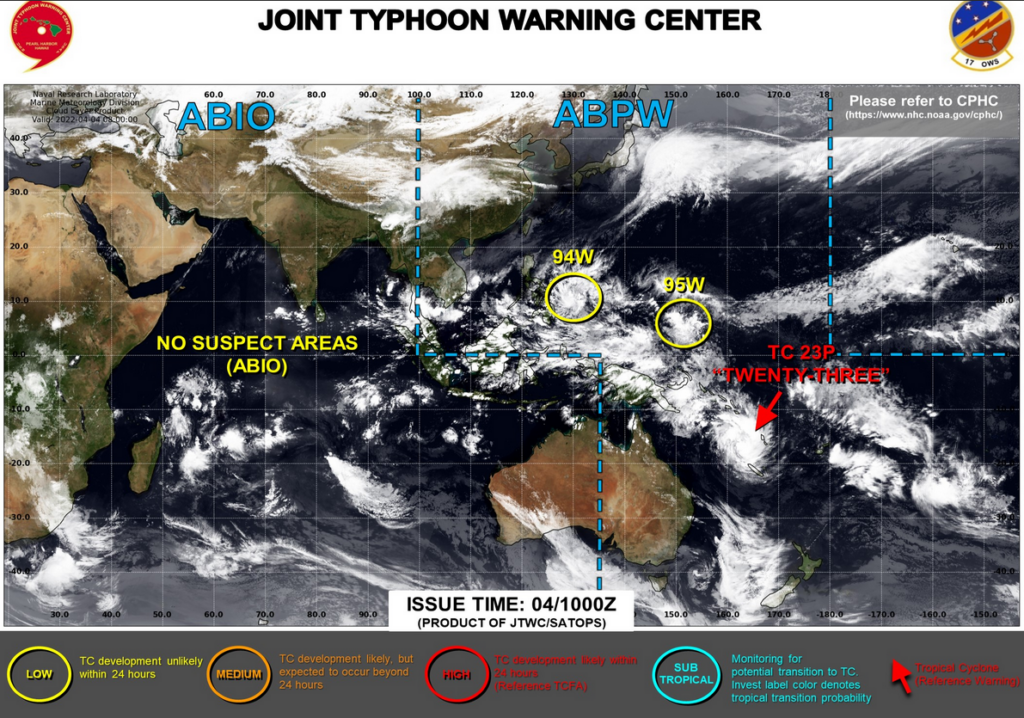
MIMIC (Morphed Integrated Microwave Imagery at CIMSS) estimates of Total Precipitable Water, above, and available in real time here, and archived here, show two cyclonic rotations on the poleward side of the deep moisture of the Intertropical Convergence Zone in the western Pacific. These two circulations are areas of interest to the Joint Typhoon Warning Center, as shown below. At the end of the animation, one circulation (tropical invest 94W) is about to move over the Phillippines. A second feature at the end of the animation is near 10o N, 150o E.
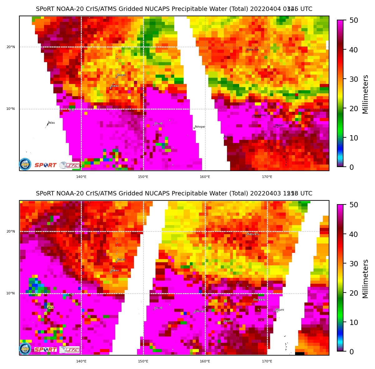
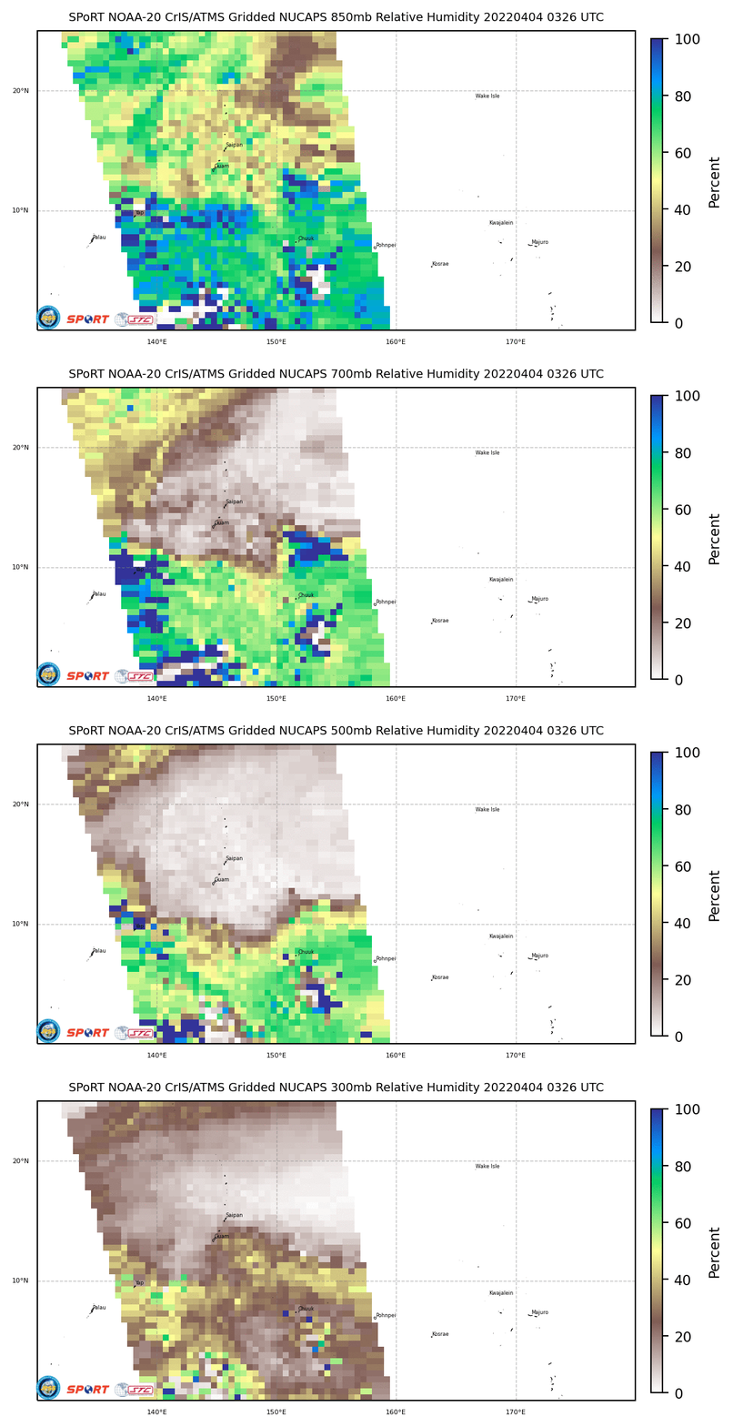
You can also view assessments of total column precipitable water (and TPW in pre-defined layers) as measured by NOAA-20 CrIS/ATMS sensors and produced by HEAP software that produces NUCAPS profiles. This SPoRT site displays gridded swaths of precipitable water, and they’re aggregated below in a loop. The latest esimates of layer Relative Humidity are shown below that. The middle-/upper-troposphere over Guam is quite dry!
What does Himawari-8 show over the region? As noted in this blog post, it’s a straightforward task to automatically acquire Himawari data via cron on any unix machine. Daily animations can then be produced, and strung together as shown below in an mp4 (Click here for the animated gif) spanning 01 through 03 April 2022. The convection associated with Invest 94W is obvious early in the animation before its convection collapses. The rotation associated with Invest 95W is apparent to the southeast of Guam at the end of the animation, but the system is poorly organized.
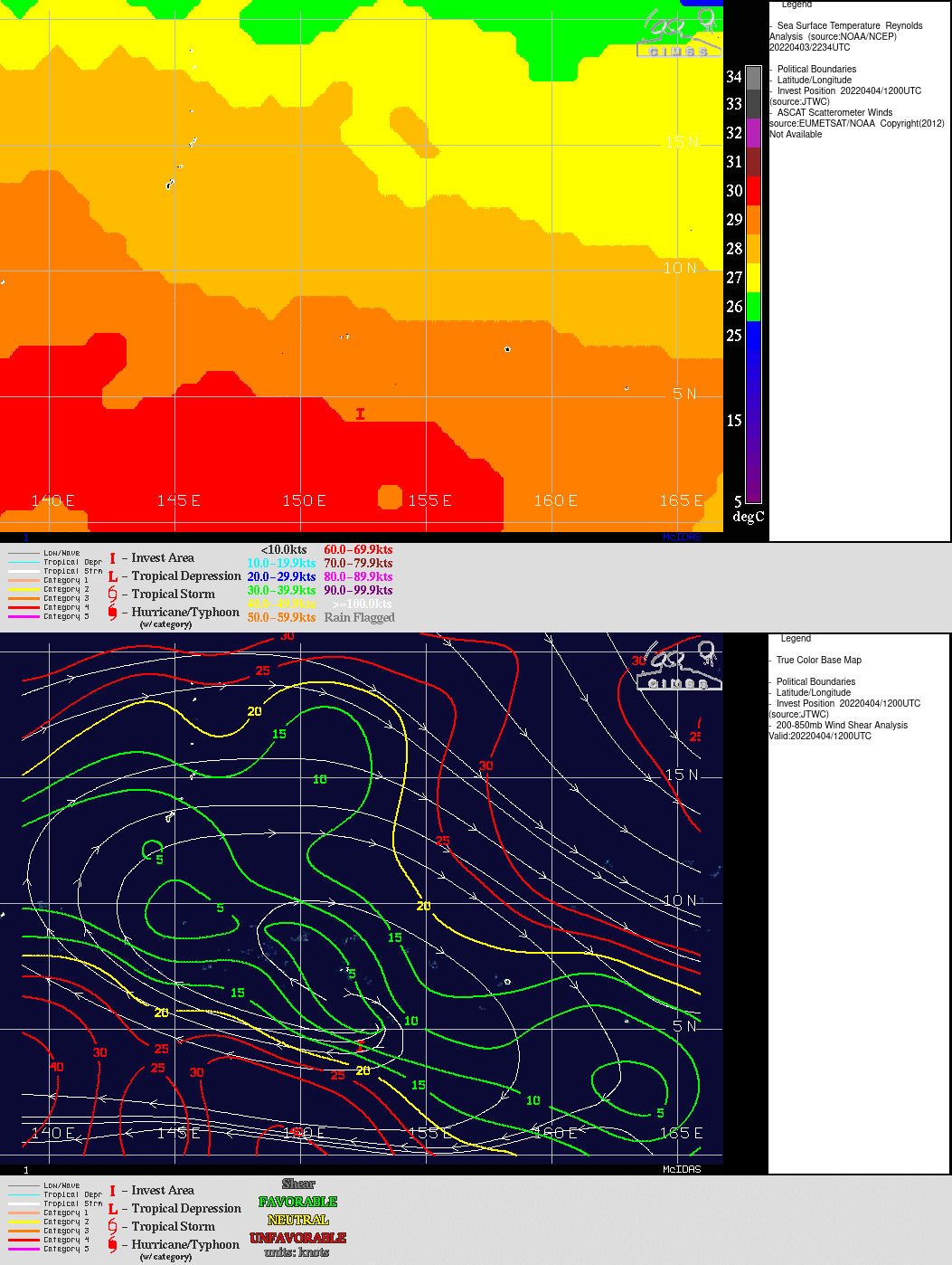
Why have these systems not developed further? The toggle below shows a mapping of shear and SSTs centered on Invest 95W (click here for a basin-wide analysis of Shear, taken from the SSEC Tropical Weather Website). Given that the atmosphere has low shear, and sea-surface temperatures are warm, it’s possible that dry air to the north has helped prevent organization. The low latitude — between 5o and 10o N — might also be a factor.
