This website works best with a newer web browser such as Chrome, Firefox, Safari or Microsoft Edge. Internet Explorer is not supported by this website.

Category: GOES-R

Severe Weather in the Pacific Northwest
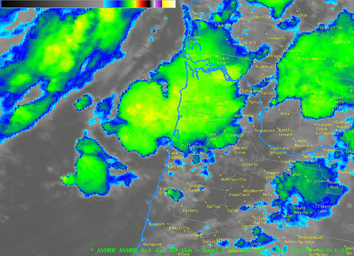
Strong moisture-laden storms caused abundant precipitation and severe weather over the Pacific Northwest from 13-15 October 2016. The animation above shows two storms making landfall in the Pacific Northwest, one on 13-14 October and a second, on 15 October, which was a storm that originated from the remnants of Typhoon... Read More

Hurricane Matthew

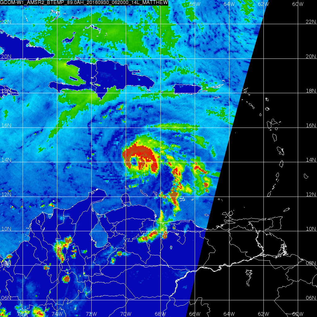
Early morning visible imagery over Matthew, above, from GOES-13, shows a circular storm with many overshooting tops and no apparent eye. However, Microwave imagery, below, from GCOM at about 0620 UTC, shows an eye structure beneath the clouds. (Information on AMSR-2 is here; Imagery was produced using Polar2Grid, part of... Read More

Super Typhoon Meranti

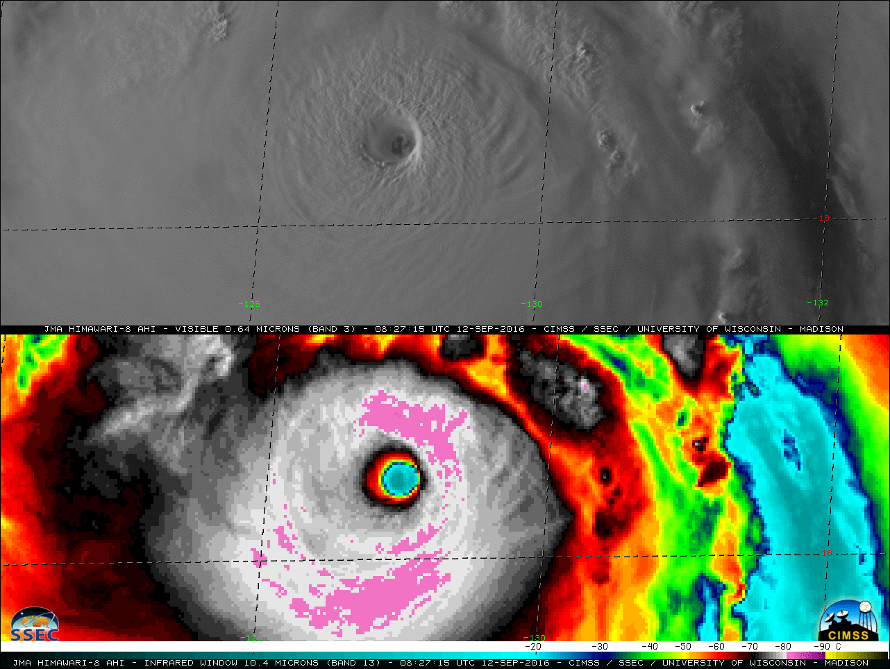
Rapid-scan (2.5-minute interval) Himawari-8 AHI Visible (0.64 µm) and Infrared Window (10.4 µm) images (above; also avialable as a 33 Mbyte animated GIF) showed the pin-hole eye and cold cloud-top IR brightness temperatures (-80º C and colder, violet color enhancement) associated with Super Typhoon Meranti (16W) in the Philippine Sea on... Read More