GOES-2 Launch Anniversary; GOES Timelines
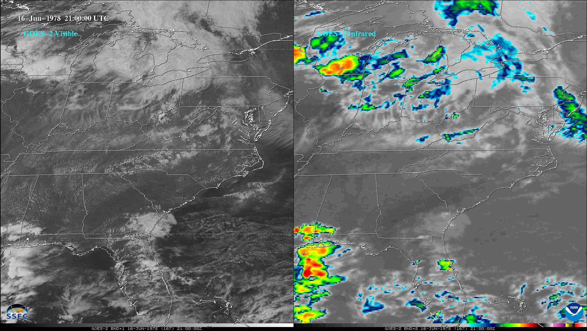
With the help of NASA, private industry and others, NOAA’s GOES-2 (as GOES-B) was launched on June 16, 1977. Similar to SMS-1/2 and GOES-1/3, there were 2 spectral bands: one visible and one longwave infrared. A still image with a map overlay is also available to provide geo-referencing for the images... Read More
