LightningCast and the Air Force Academy graduation

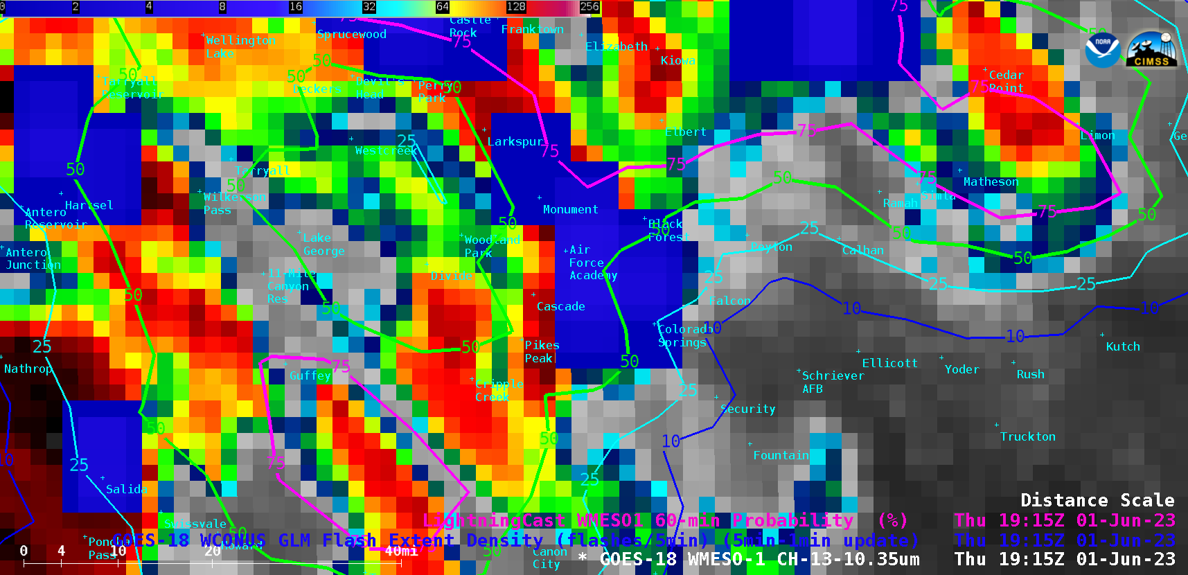
1-minute Mesoscale Domain Sector GOES-18 (GOES-West) “Clean” Infrared Window (10.3 µm) images (above) are shown with and without an overlay of GLM Flash Extent Density and contours of Lightning Cast Probability from 1530-1915 UTC on 01 June 2023 — the time period covering outdoor graduation ceremonies at the Air Force Academy in eastern Colorado. LightningCast provided good lead time, with Probability values over the Air Force Academy... Read More


