GOES-17 arrives at its GOES-West position of 137.2º W longitude
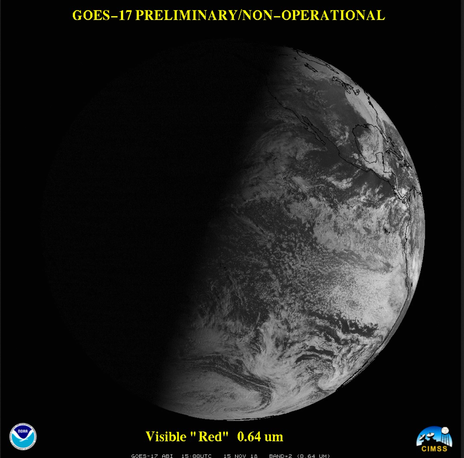
* GOES-17 images posted here are preliminary and non-operational *GOES-17 arrived at its GOES-West position of 137.2º W longitude on 13 November 2018, and began to transmit imagery via GOES Re-Broadcast (GRB) at 1500 UTC and the AWIPS Satellite Broadcast Network (SBN) at 1700 UTC on 15 November (NOAA/NESDIS article). A... Read More
