Strong gap flow into the Gulf of Tehuantepec
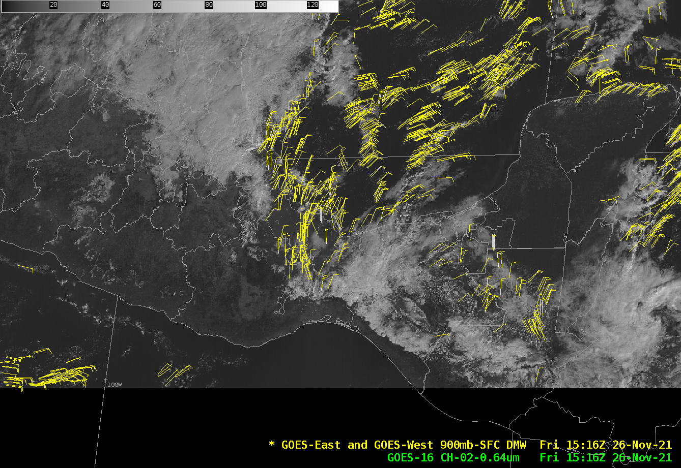
GOES-16 True-Color imagery from the CSPP Geosphere site (link showing the data above) on 26 November, above, show features associated with strong flow through Chivela Pass in southern Mexico, gap winds often called Tehuano winds or Tehuantepecers. Strong descent associated with these events can often limit the presence of clouds that... Read More
