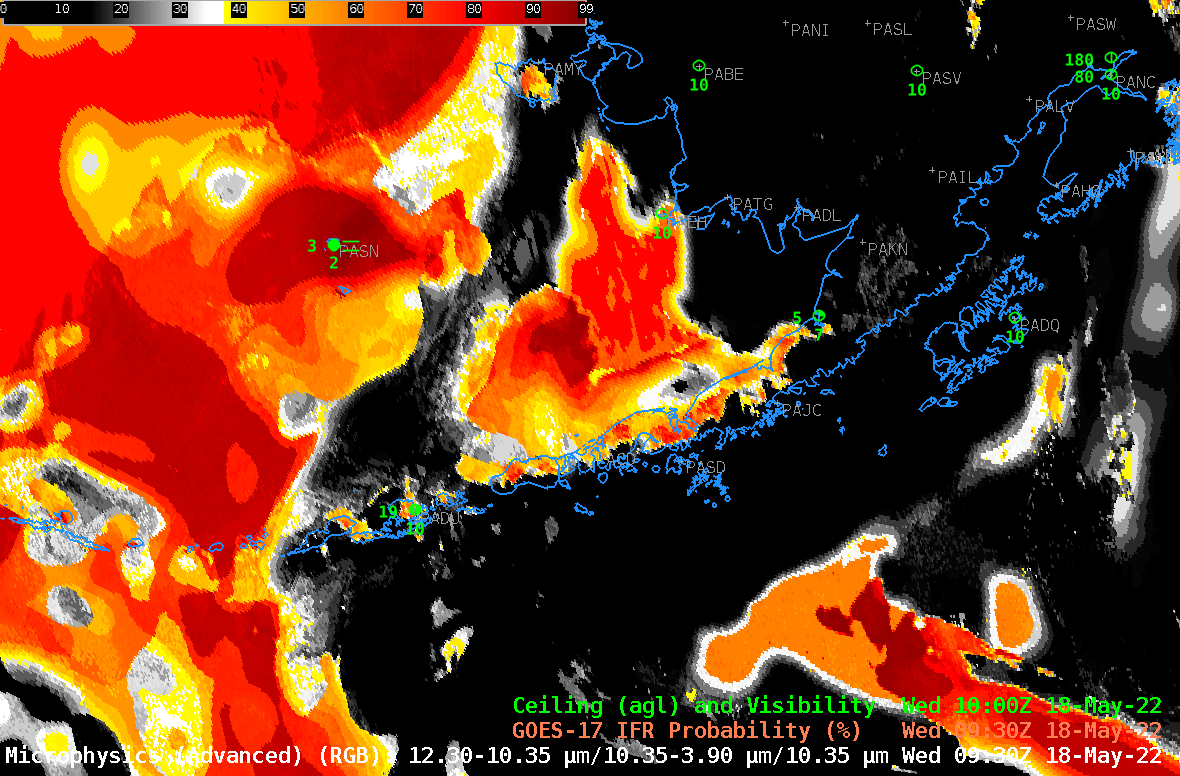
View and animate GOES-16 and GOES-17 Full-Disk IFR/Low IFR Probability fields in RealEarth
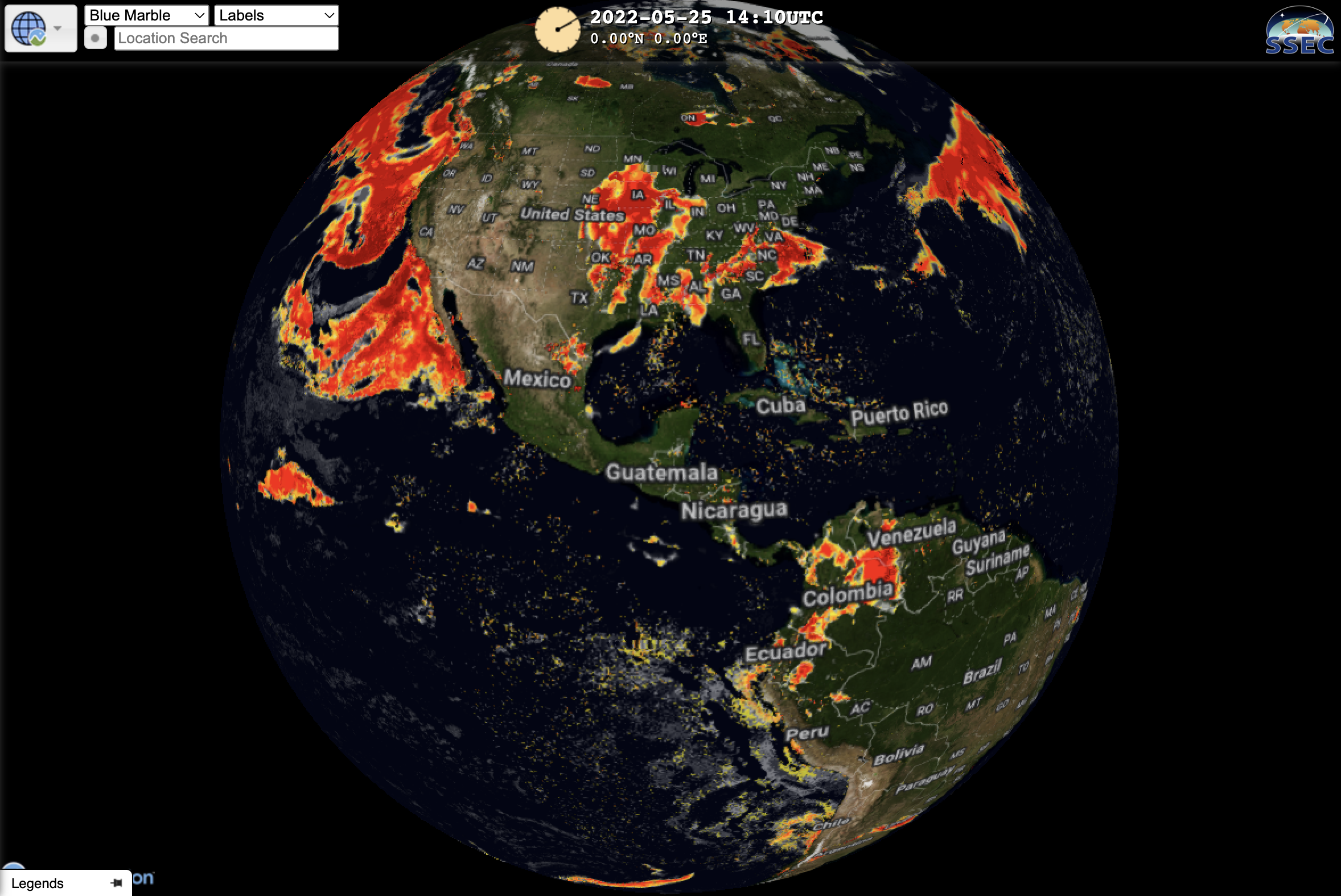
GOES-16 and GOES-17 Full-Disk IFR and Low IFR Probability fields are now available in RealEarth. IFR (Instrument Flight Rules) Probability estimates the likelihood that IFR conditions are occurring. You can view and animate real-time satellite IFR probability in RealEarth. ... Read More
