Maria: Tropical Storm Watch for the Outer Banks of North Carolina

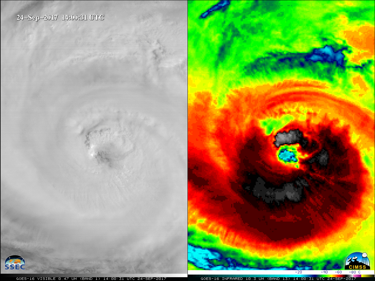
* GOES-16 data posted on this page are preliminary, non-operational and are undergoing testing *Hurricane Maria was downgraded to a Category 2 storm at 12 UTC on 24 September 2017 (above), when it was located about halfway between Miami and Bermuda.GOES-16 “Red” Visible (0.64 µm) and “Clean” Infrared Window (10.3 µm) images... Read More


