September 2017: a record-setting month in terms of Atlantic tropical cyclone ACE
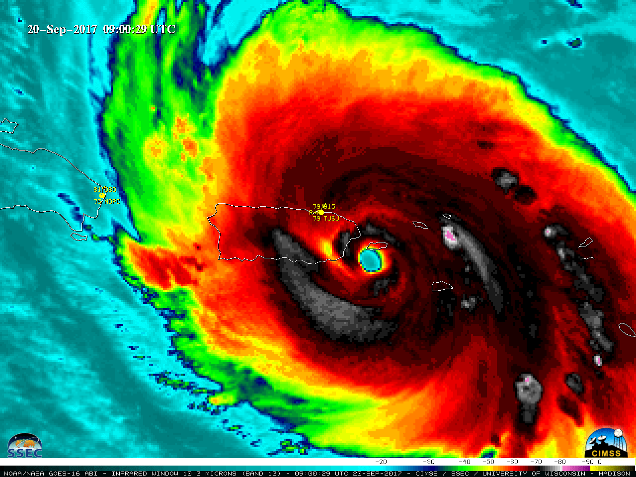
* GOES-16 data posted on this page are preliminary, non-operational and are undergoing testing *The Accumulated Cyclone Energy (ACE) for September 2017 set a new record for any month over the North Atlantic basin: Since it was released on a Sunday morning, many missed the monthly summary from NHC confirming... Read More
