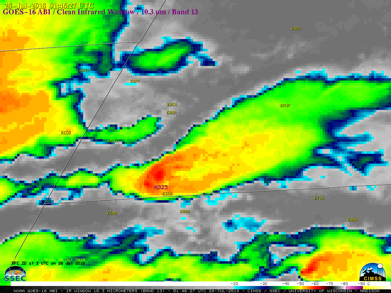
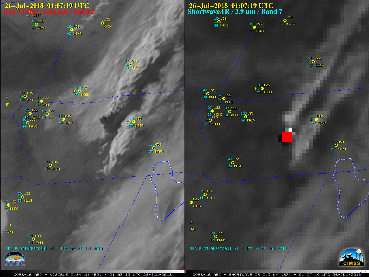
This website works best with a newer web browser such as Chrome, Firefox, Safari or Microsoft Edge. Internet Explorer is not supported by this website.

Category: GOES-16

Large hail and high winds in South Dakota and Nebraska

A supercell thunderstorm which developed in southeastern Montana during the afternoon hours on 27 July 2018 produced damaging wind-driven hail as it moved southeastward across western South Dakota into far northern Nebraska (SPC storm reports | NWS Rapid City summary). 
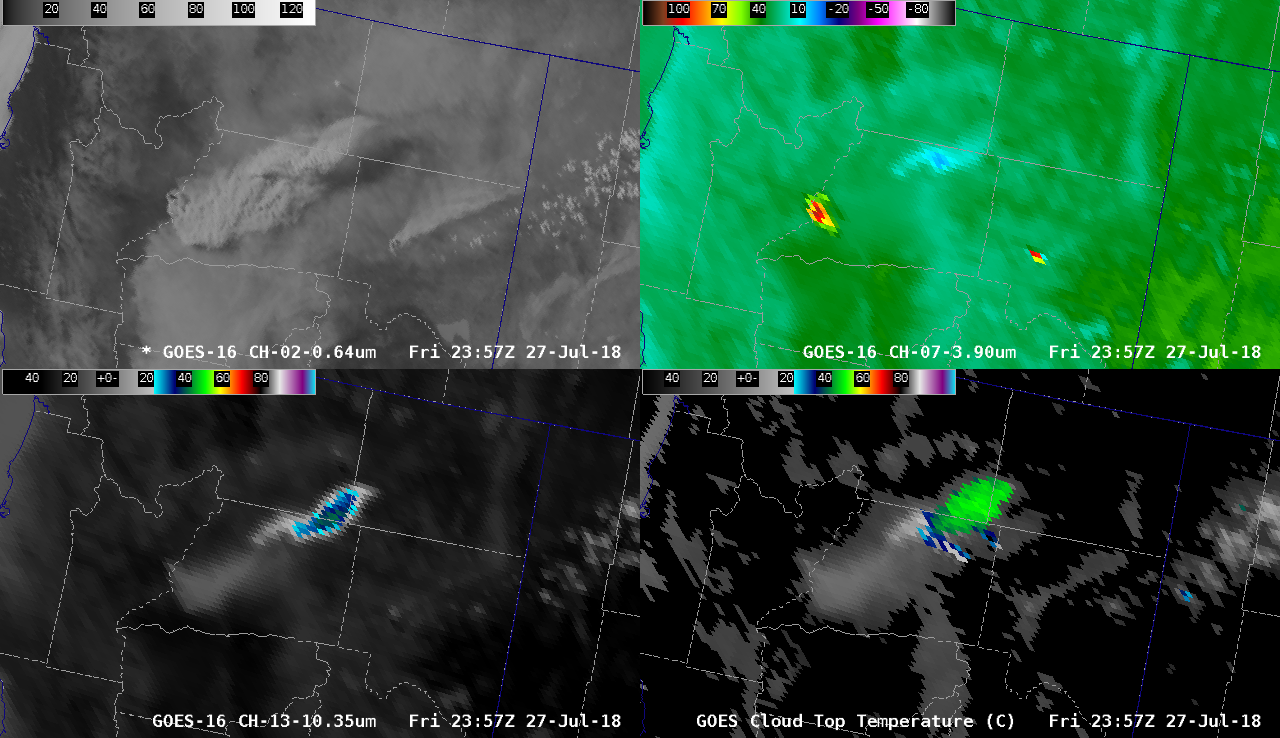
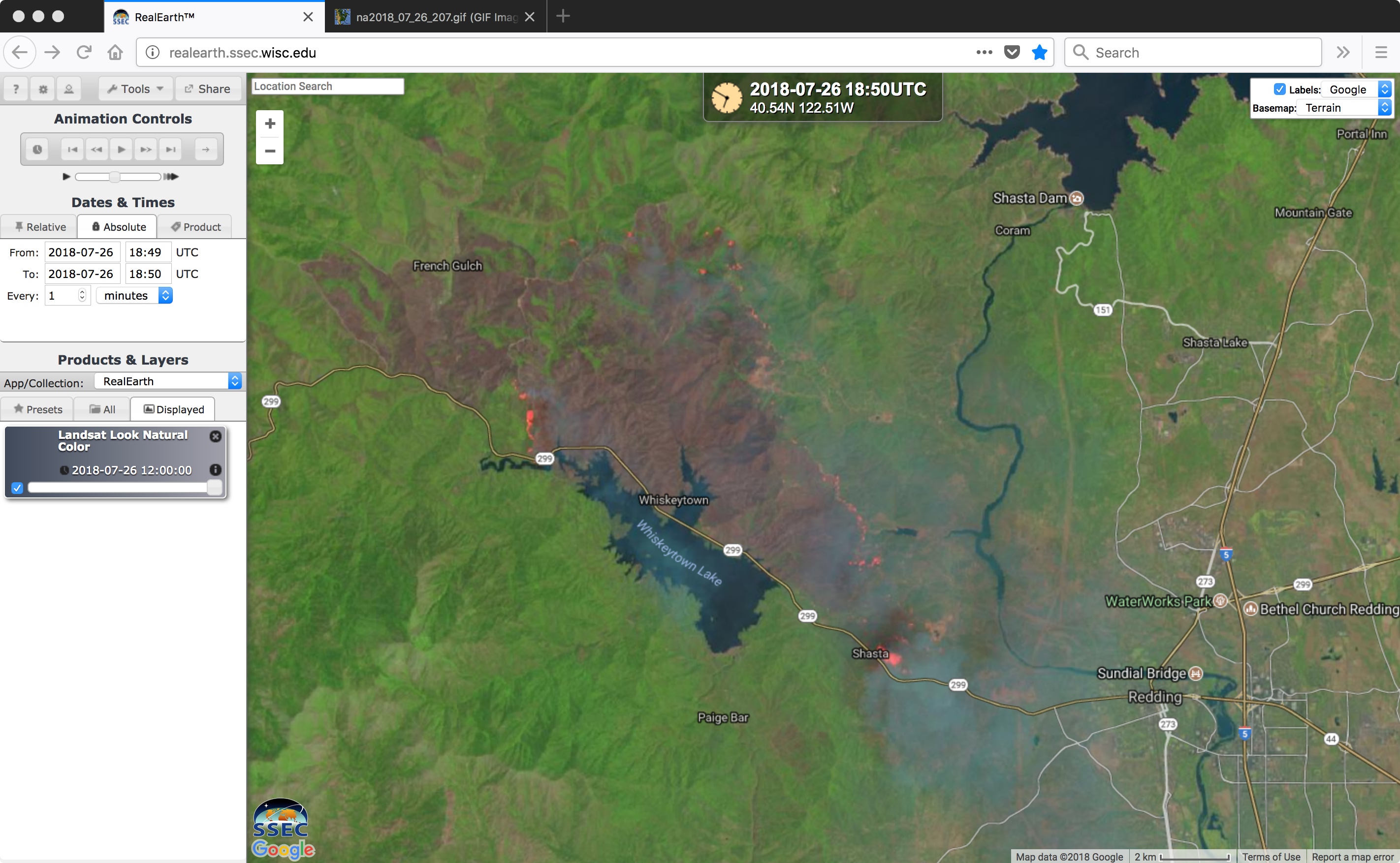
1-minute Mesoscale Domain Sector GOES-16 (GOES-East) “Red” Visible (0.64 µm) images (above) showed the evolution of this storm.The corresponding GOES-16... Read More

Fog/stratus along the New England coast

The GOES-16 (GOES-East) Total Precipitable Water product (above) showed a northerly/northwesterly flow of tropical moisture toward New England during the day on 24 July 2018, with TPW values in the 1.0 to 1.6 inch range moving toward the region. As this moist air moved over relatively cool water — as... Read More