This website works best with a newer web browser such as Chrome, Firefox, Safari or Microsoft Edge. Internet Explorer is not supported by this website.

Category: GOES-16

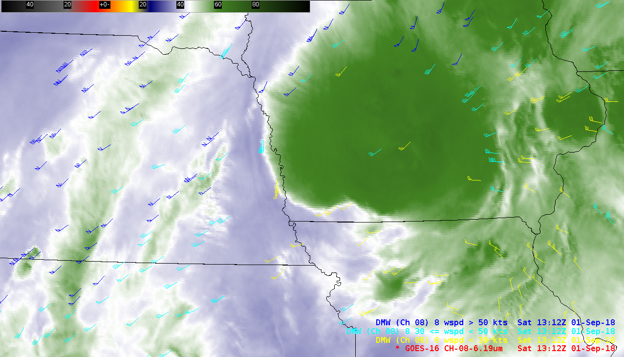
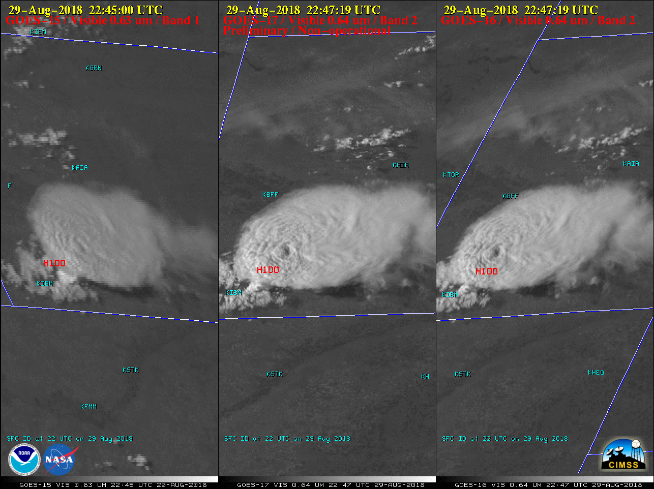
Tropical Storm Gordon

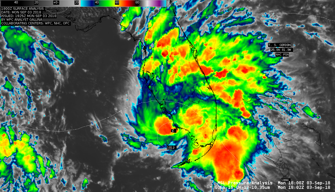
Potential Tropical Cyclone 7 was located between the Bahamas and Florida during the pre-sunrise hours on 03 September 2018. Toggles between VIIRS Day/Night Band (0.7 µm) and Infrared Window (11.45 µm) images from NOAA-20 at 0636 UTC and Suomi NPP at 0726 UTC are shown above (courtesy of William Straka,... Read More

A Nebraska thunderstorm and a Wyoming wildfire, as viewed by GOES-15, GOES-17 and GOES-16

* GOES-17 images shown here are preliminary and non-operational *A comparison of Visible images from GOES-15 (GOES-West), GOES-17 and GOES-16 (GOES-East) (above) showed an isolated thunderstorm that developed in the Nebraska Panhandle late in the day on 29 August 2018. The storm produced hail (SPC storm reports), and also exhibited an Above Anvil Cirrus Plume.... Read More