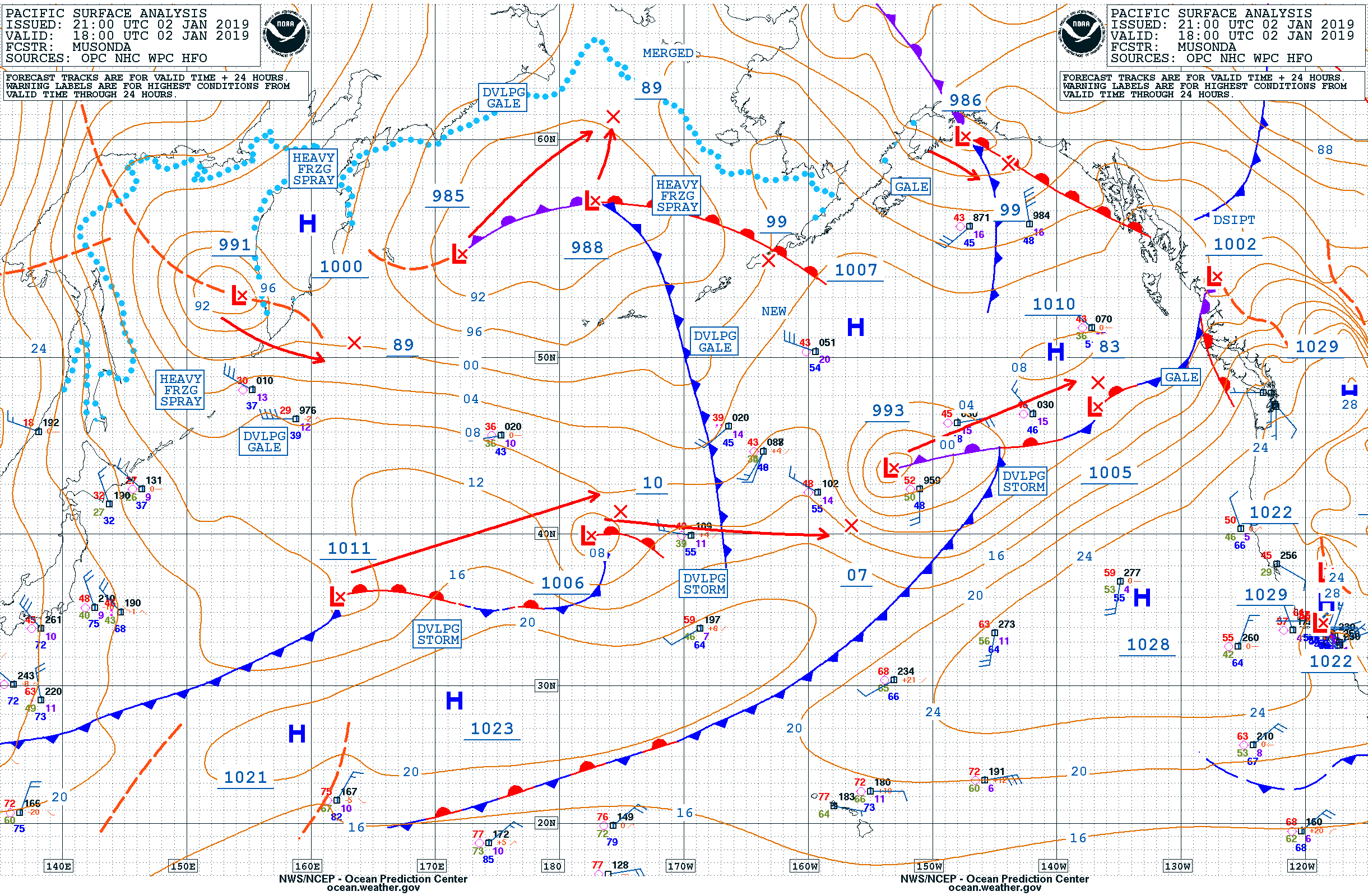
This website works best with a newer web browser such as Chrome, Firefox, Safari or Microsoft Edge. Internet Explorer is not supported by this website.

Category: GOES-15

Banner cloud in Alaska

Suomi NPP VIIRS Infrared Window (11.45 µm) images (above) showed a well-defined banner cloud extending from the Brooks Range in northern Alaska to the Beaufort Sea on 07 November 2018. Overlays of NAM12 model 250 hPa winds revealed the presence of a branch of the polar jet stream flowing northeastward... Read More

Hurricane Walaka

GOES-15 (GOES-West) Infrared Window (10.7 µm) images (above) showed the formation of a well-defined eye of Hurricane Walaka during a period of rapid intensification (ADT | SATCON) from 0000-2330 UTC on 01 October 2018; Walaka was classified a Category 5 hurricane as of the 02 October 00 UTC advisory. Walaka was moving... Read More

Hurricane Rosa

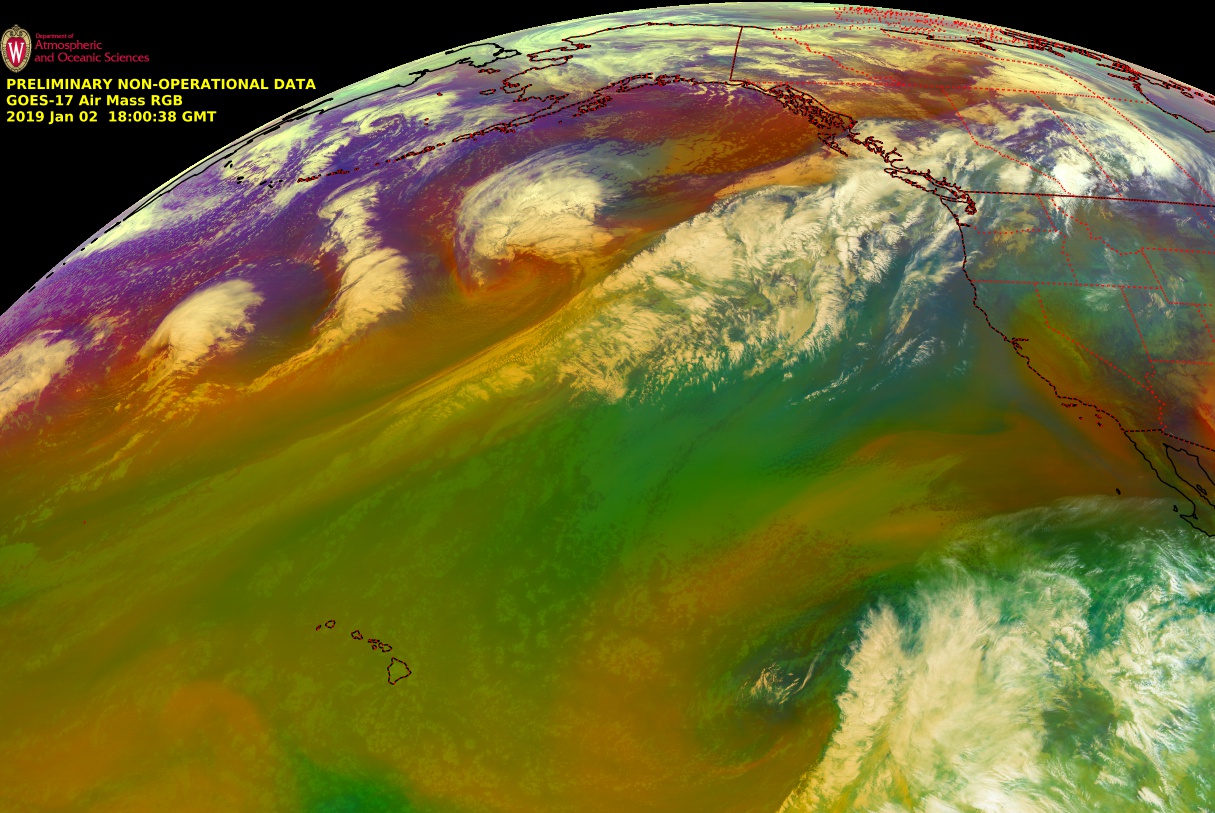
* GOES-17 images shown here are preliminary and non-operational *GOES-15 (GOES-West) Infrared Window (10.7 µm) and GOES-17 “Clean” Infrared Window (10.3 µm) images (above) showed Hurricane Rosa on the morning of 28 September 2018, after it had rapidly intensified to Category 4 intensity overnight (ADT | SATCON). Since GOES-17 was operating in... Read More