This website works best with a newer web browser such as Chrome, Firefox, Safari or Microsoft Edge. Internet Explorer is not supported by this website.

Category: GOES-14

GOES-14 is out of Storage
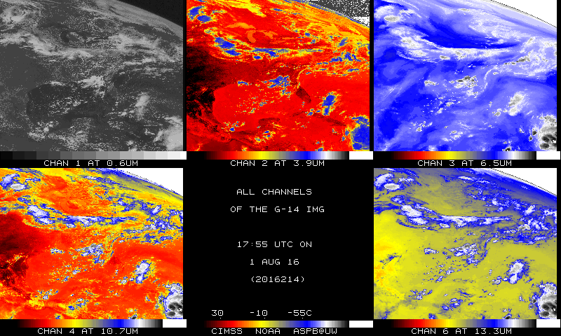
 GOES-14 has again been reactivated, and is distributing data from its location over the Equator at 105 W. GOES-14 will be entering SRSO-R mode next week, starting on 9 August (link) and continuing through 26 August.Short animations of GOES-14 Visible (0.63 um) and Infrared Window (10.7 um) imagery are shown... Read More

NOAA/CIMSS ProbSevere with a tornadic cell in Kansas/Oklahoma

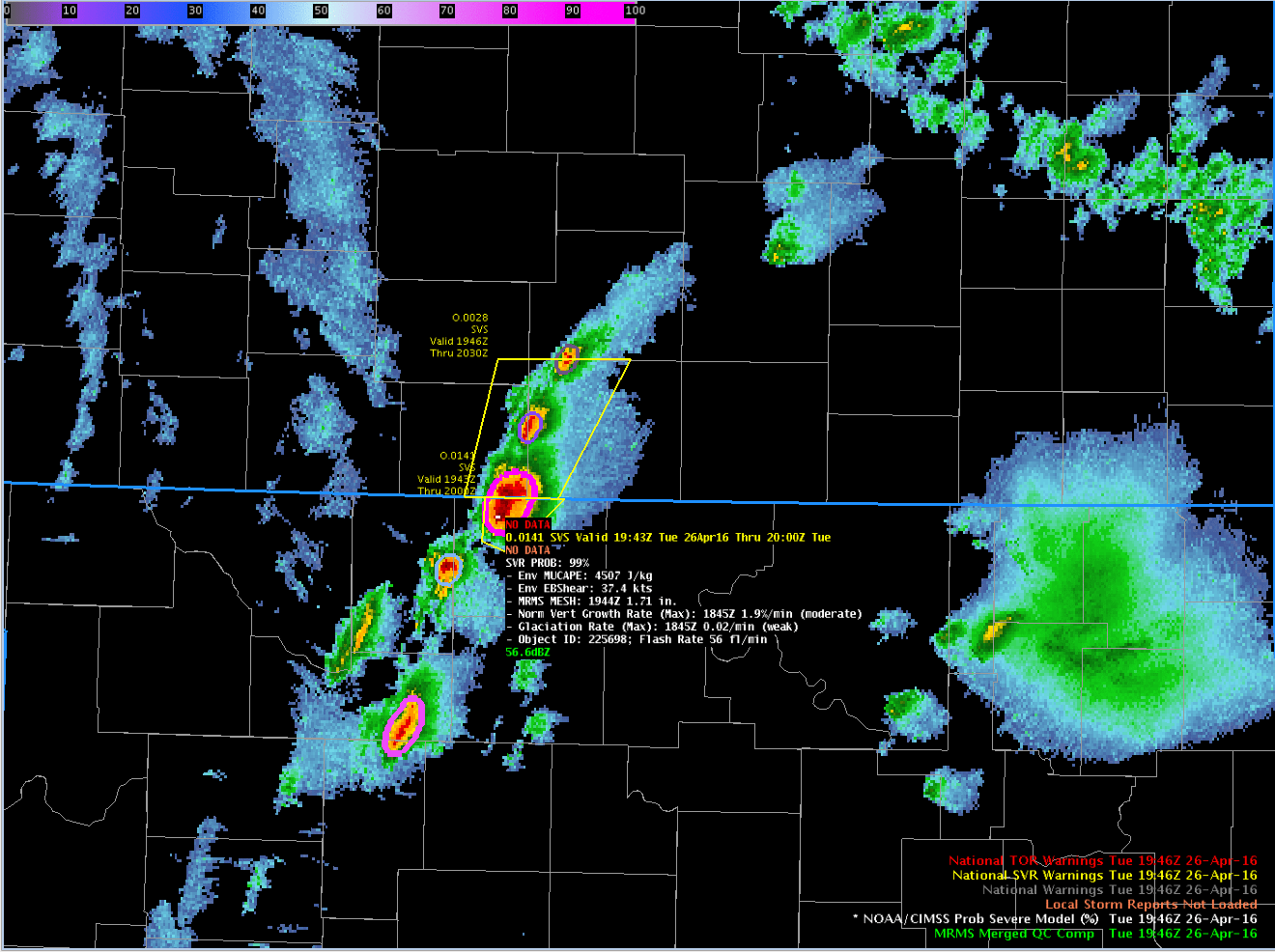
April 26 2016 was a day of well-anticipated severe weather (even a week out!) over the central and southern Plains, with a Moderate Risk of Severe Weather predicted for parts of Nebraska, Kansas, Oklahoma and Texas. The GOES-14 visible animation, above, shows the development of strong thunderstorms in north-central Oklahoma that propagated into south central Kansas, producing hail around 2000 UTC. Note the presence of an... Read More