Snowfall in southern Texas
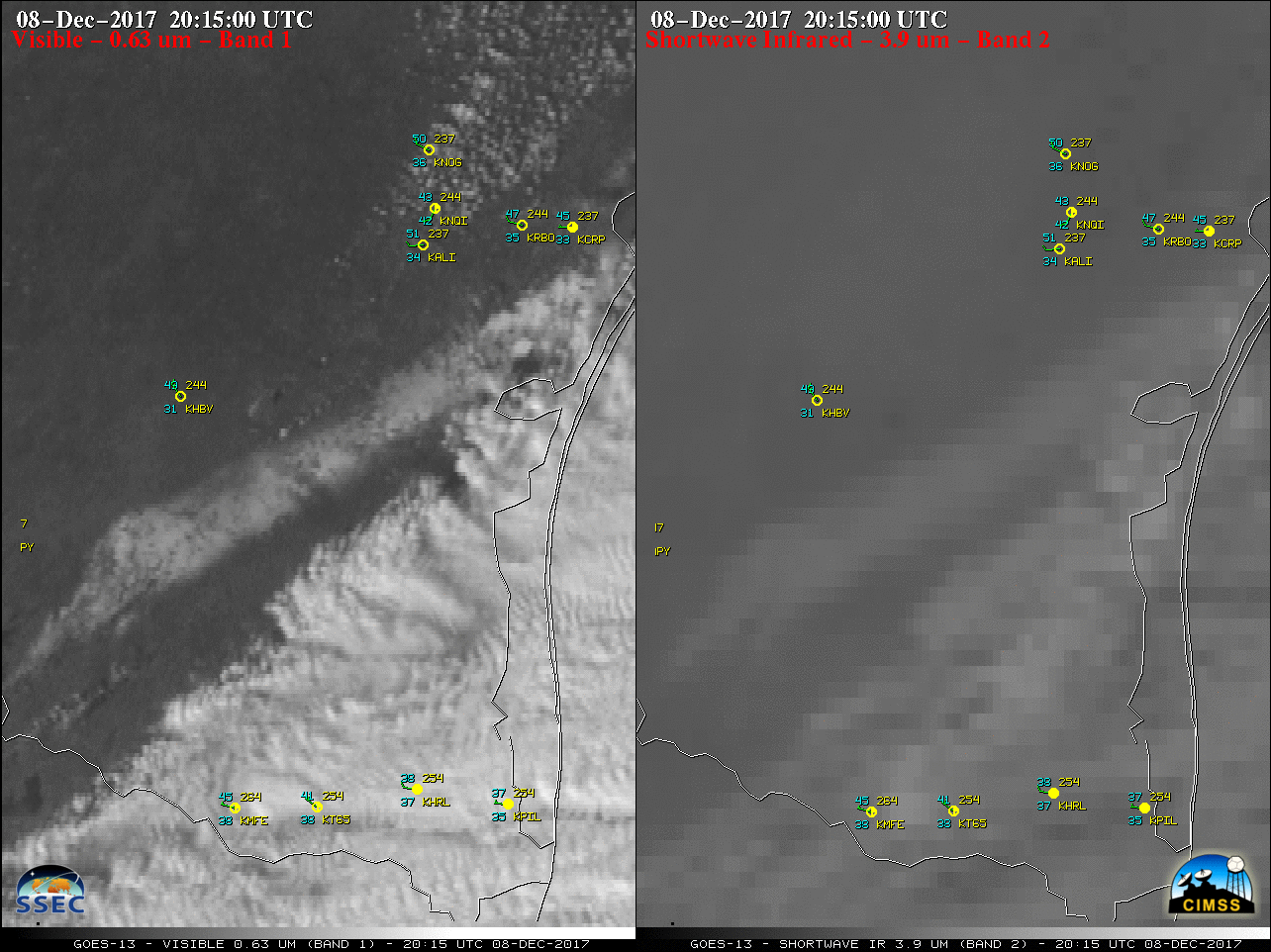
The combination of lift from an upper-level trough and cold air behind the passage of a surface cold front set the stage for accumulating snow across far southern Texas on 08 December 2017. As the clouds cleared, GOES-13 (GOES-East) Visible (0.63 µm) and Shortwave Infrared (3.9 µm) images (above) revealed a narrow swath of snow... Read More
