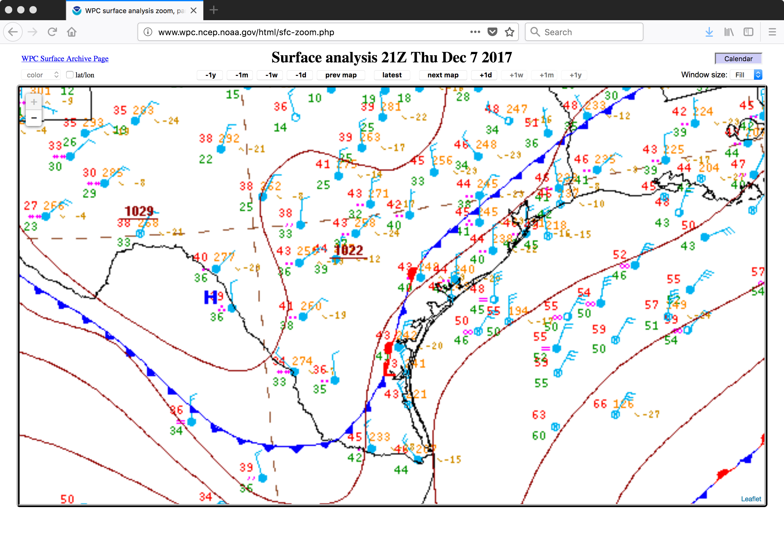
Snowfall in southern Texas
![GOES-13 Visible (0.63 µm, left) and Shortwave Infrared (3.9 µm, right) images, with hourly plots of surface reports [click to play animation]](https://cimss.ssec.wisc.edu/satellite-blog/wp-content/uploads/sites/5/2017/12/171208_goes13_visible_shortwaveIR_TX_snow_cover_anim.gif)
GOES-13 Visible (0.63 µm, left) and Shortwave Infrared (3.9 µm, right) images, with hourly plots of surface reports [click to play animation]
A toggle between Terra MODIS true-color and false-color Red-Green-Blue (RGB) images from RealEarth (below) showed the southwestern portion of this band of snow cover (which appeared as darker shades of cyan in the false-color image).
![Suomi NPP VIIRS true-color and false-color RGB images [click to enlarge]](https://cimss.ssec.wisc.edu/satellite-blog/wp-content/uploads/sites/5/2017/12/171208_viirs_truecolor_falsecolor_RGV_TX_snow_anim.gif)
Suomi NPP VIIRS true-color and false-color RGB images [click to enlarge]
![Terra MODIS true-color and false-color images [click to enlarge]](https://cimss.ssec.wisc.edu/satellite-blog/wp-content/uploads/sites/5/2017/12/171208_terra_modis_truecolor_falsecolor_SAT_AUS_CLL_TX_snow_anim.gif)
Terra MODIS true-color and false-color images [click to enlarge]