GOES-12 is retired from service
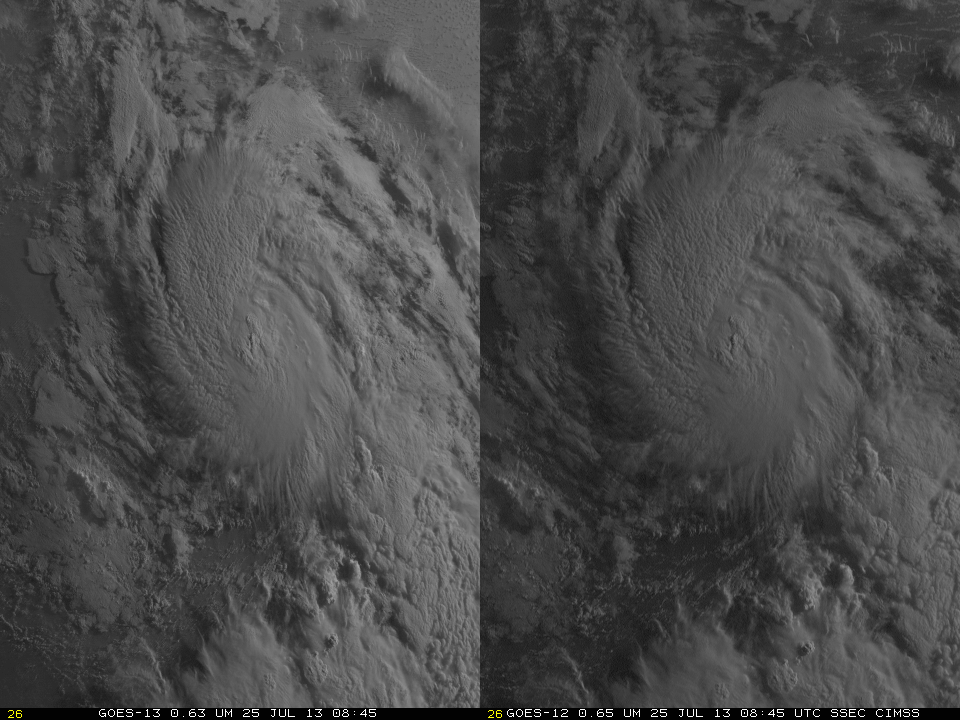
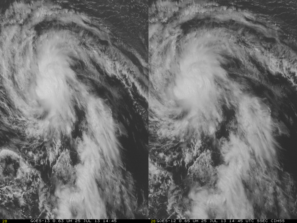
The GOES-12 Sounder has sent its last data, ending more than 12 years of service. The GOES-12 Sounder was turned off at 1100 UTC on 13 August. GOES-12 was launched on July 23, 2001, and GOES-12 transmitted data from 16 August 2001 – 7 January 2002, and then more or... Read More
