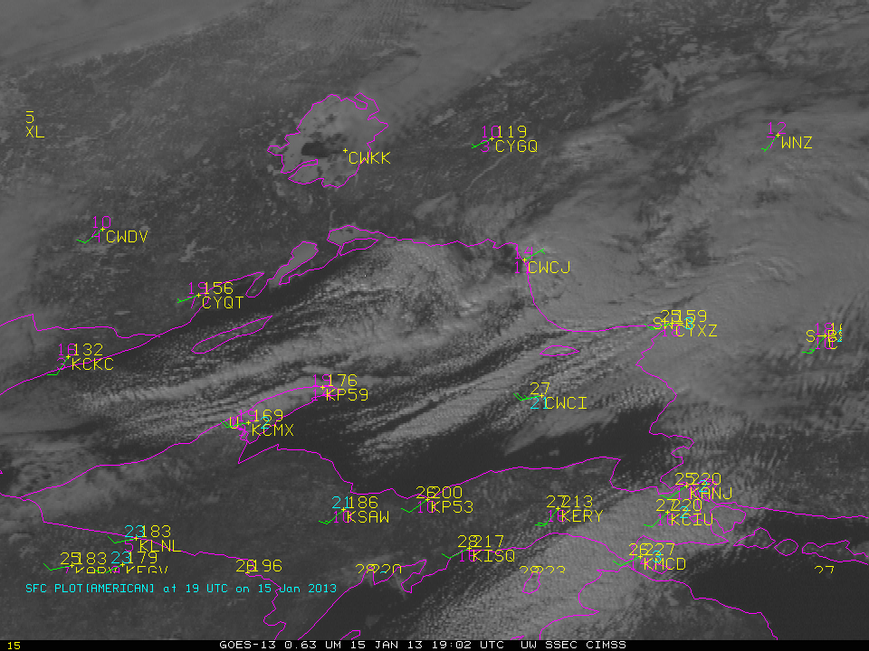
This website works best with a newer web browser such as Chrome, Firefox, Safari or Microsoft Edge. Internet Explorer is not supported by this website.

Category: General interpretation

Large upper-level low approaches Hawaii

McIDAS images of GOES-15 6.5 µm water vapor channel data with overlays of hourly water vapor atmospheric motion vectors (above; click image to play animation) revealed the large cyclonic circulation of an upper-level low that was moving westward toward the Hawaiian Islands on 21 May – 22 May 2012. The... Read More

GOES-13 Imager Band Co-Registration

On the morning of May 14th, a clear morning, the GOES-13 Legacy “Fog Product” that exploits the brightness temperature differences observed by the GOES Imager at 3.9 µm and 10.7 µm, which differences arise because of wavelength-dependent emissivity differences in water clouds, showed fog first on the eastern shores of... Read More