Category: General interpretation
Some Solstice Satellite Scenes
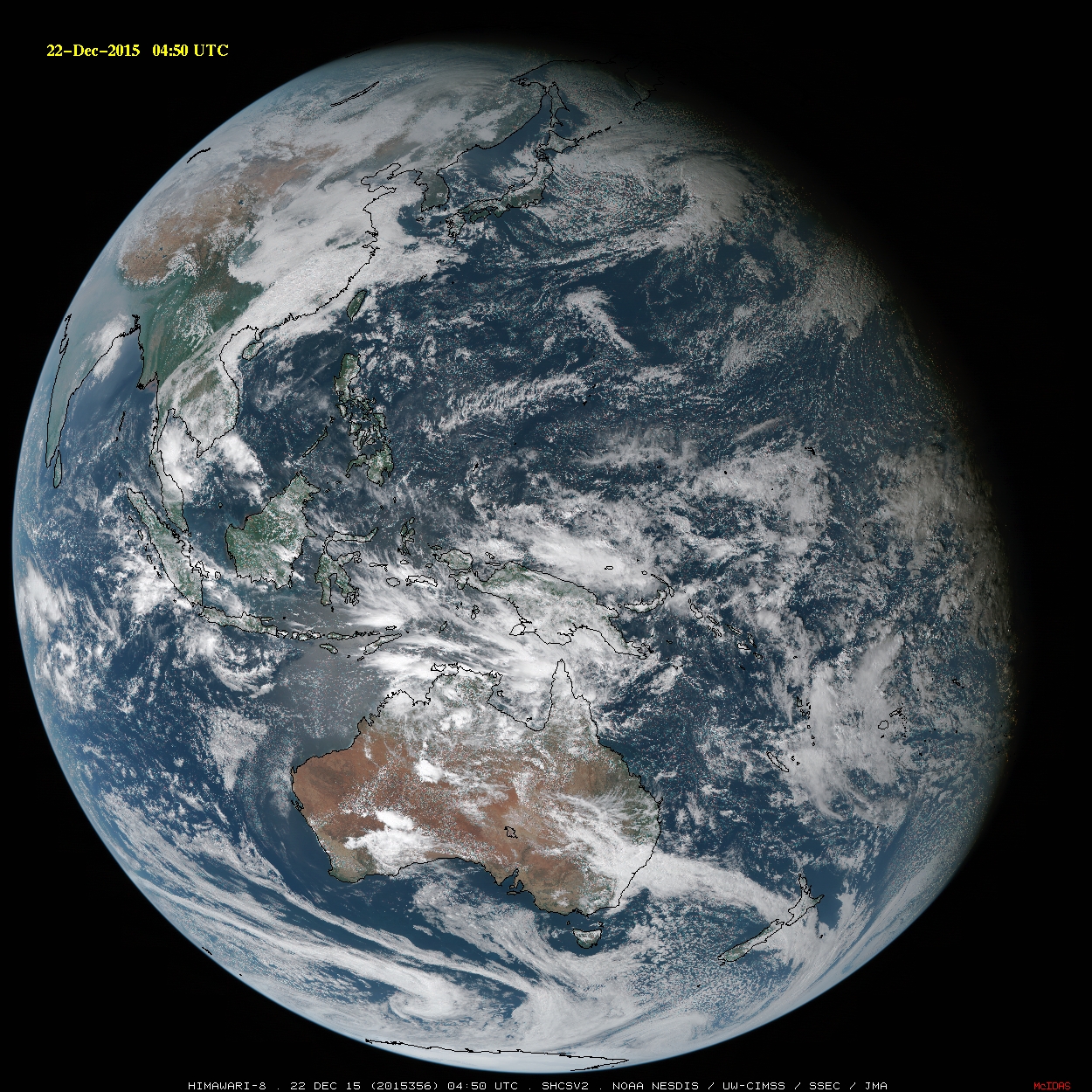
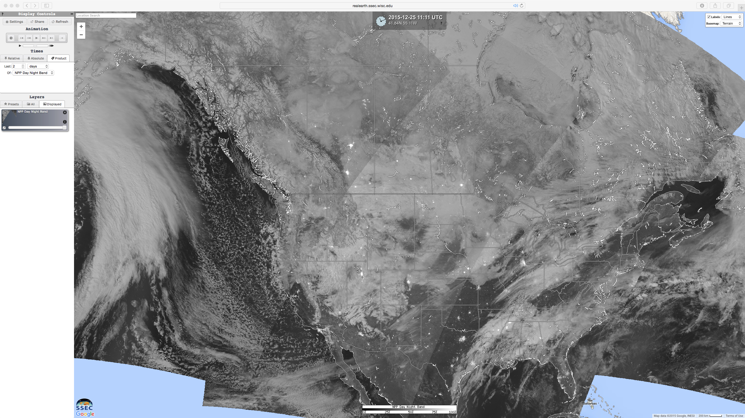
The 2015 December solstice — Winter in the Northern Hemisphere, and Summer in the Southern Hemisphere — occurred at 0448 UTC on 22nd day of the month. Several hours prior to the solstice, the daylight/darkness “terminator” (tilted at 23.5º due to the inclination of the Earth’s axis) could be seen... Read More
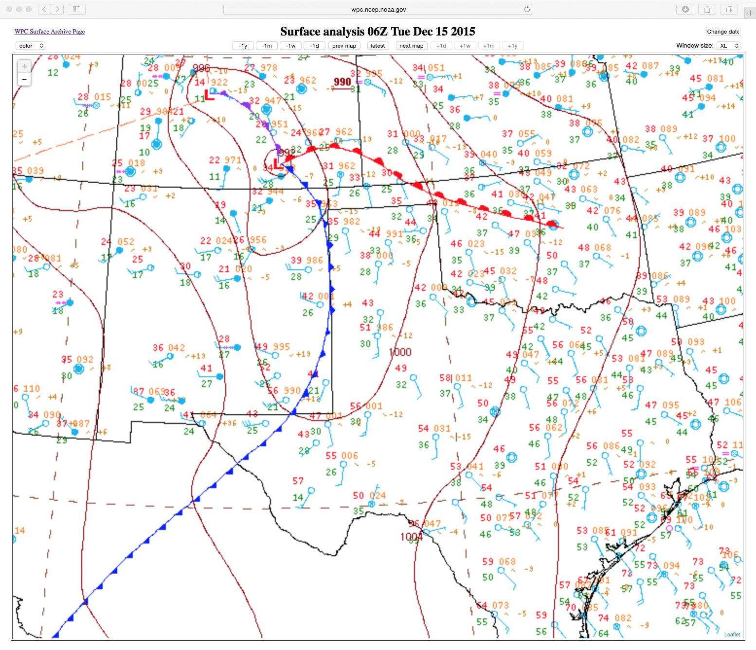
Bore-like Gravity Wave Signatures over Texas
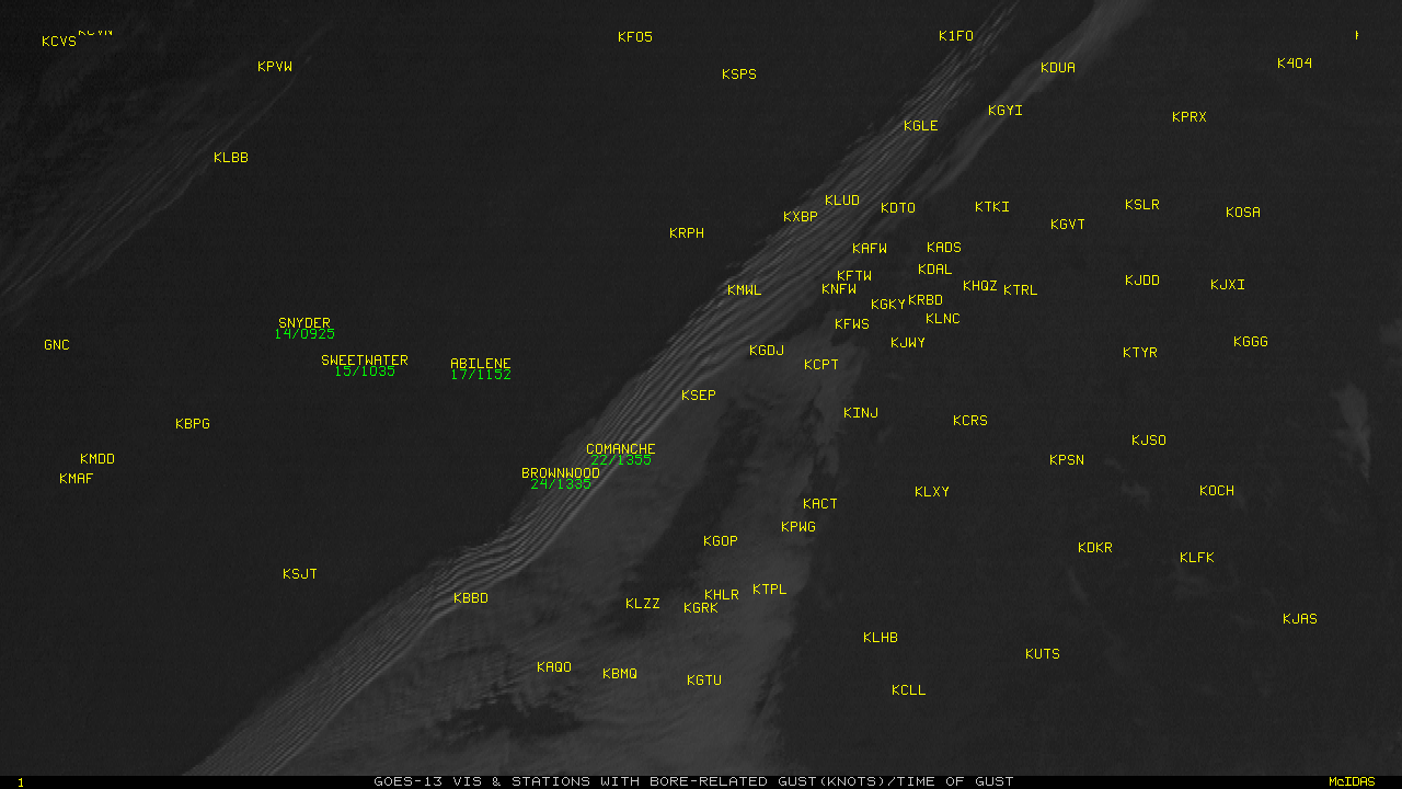
GOES-13 (above) and GOES-15 (below) both captured the propagation of gravity waves that displayed Bore-like attributes along an inversion with a cold front over central Texas. (Click here for an animation of GOES-13 and GOES-15 side-by-side that includes observed surface winds).There was a temperature drop across the front, and modest wind... Read More
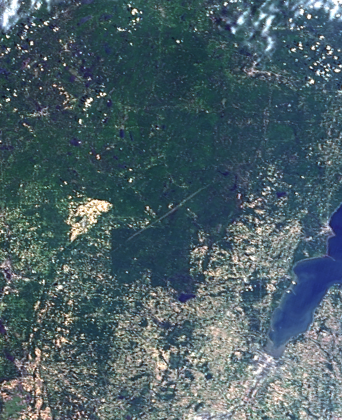
How long can Tornado Scars last?
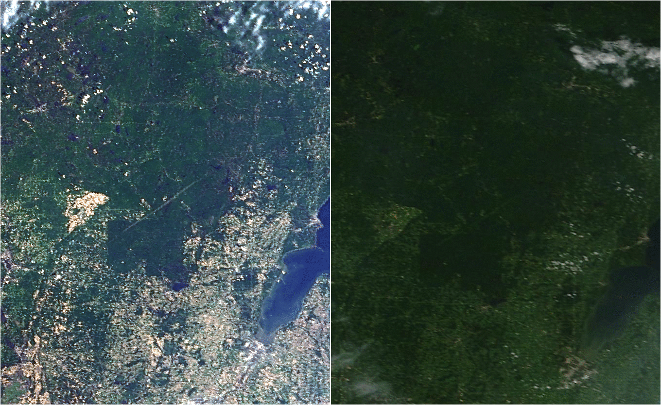
On 07 June 2007, severe thunderstorms moved through the Upper Midwest (blog post on that event), spawning strong tornadoes; from the SPC Storm Reports comments:HUNDREDS OF TREES DOWN NORTH OF ZOAR. (GRB) NUMEROUS TREES DOWN OF 1 FOOT DIAMETER AND GREATER. TRACK WAS APPROXIMATELY 1/4 MILE IN LENGTH AND 125 YARDS WIDE (MQT)Terra MODIS data on 09 June 2007 (in the image... Read More
