Scattering and Shadows
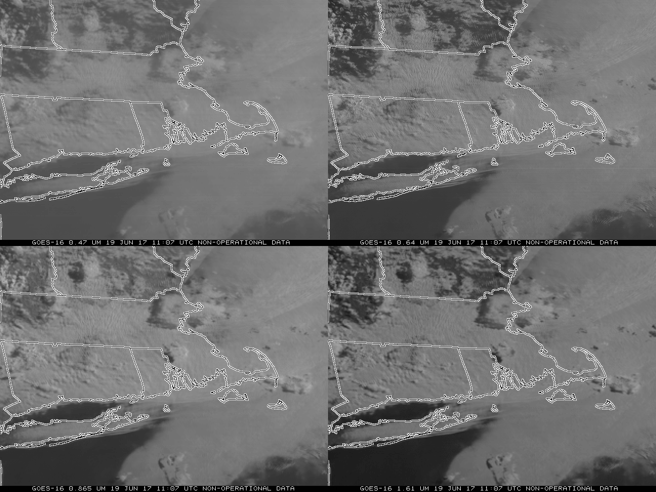
GOES-16 data posted on this page are preliminary, non-operational data and are undergoing testingThe animation of GOES-16 imagery, above, showing, clockwise from upper left, the GOES-16 0.47 µm, 0.64 µm, 1.61 µm and 0.86 µm channels, shows lows clouds over southeast New England, with a few mid-level clouds aloft. The... Read More