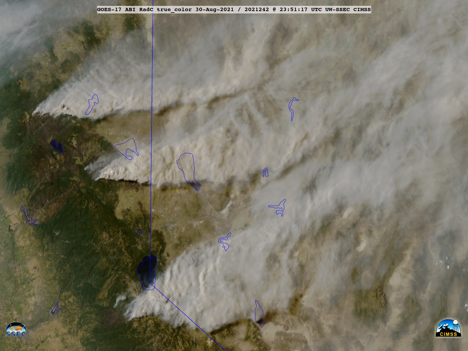
Caldor Fire approaches South Lake Tahoe
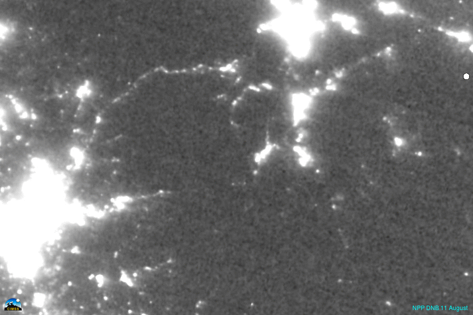
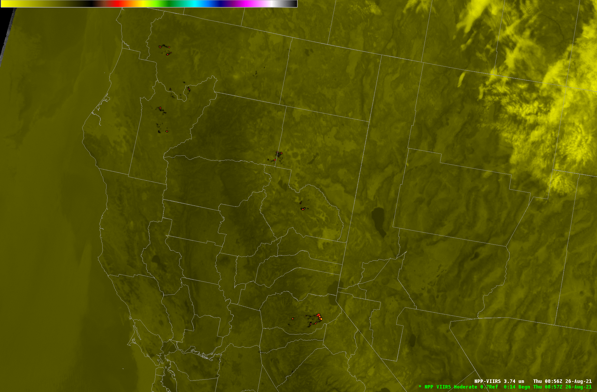
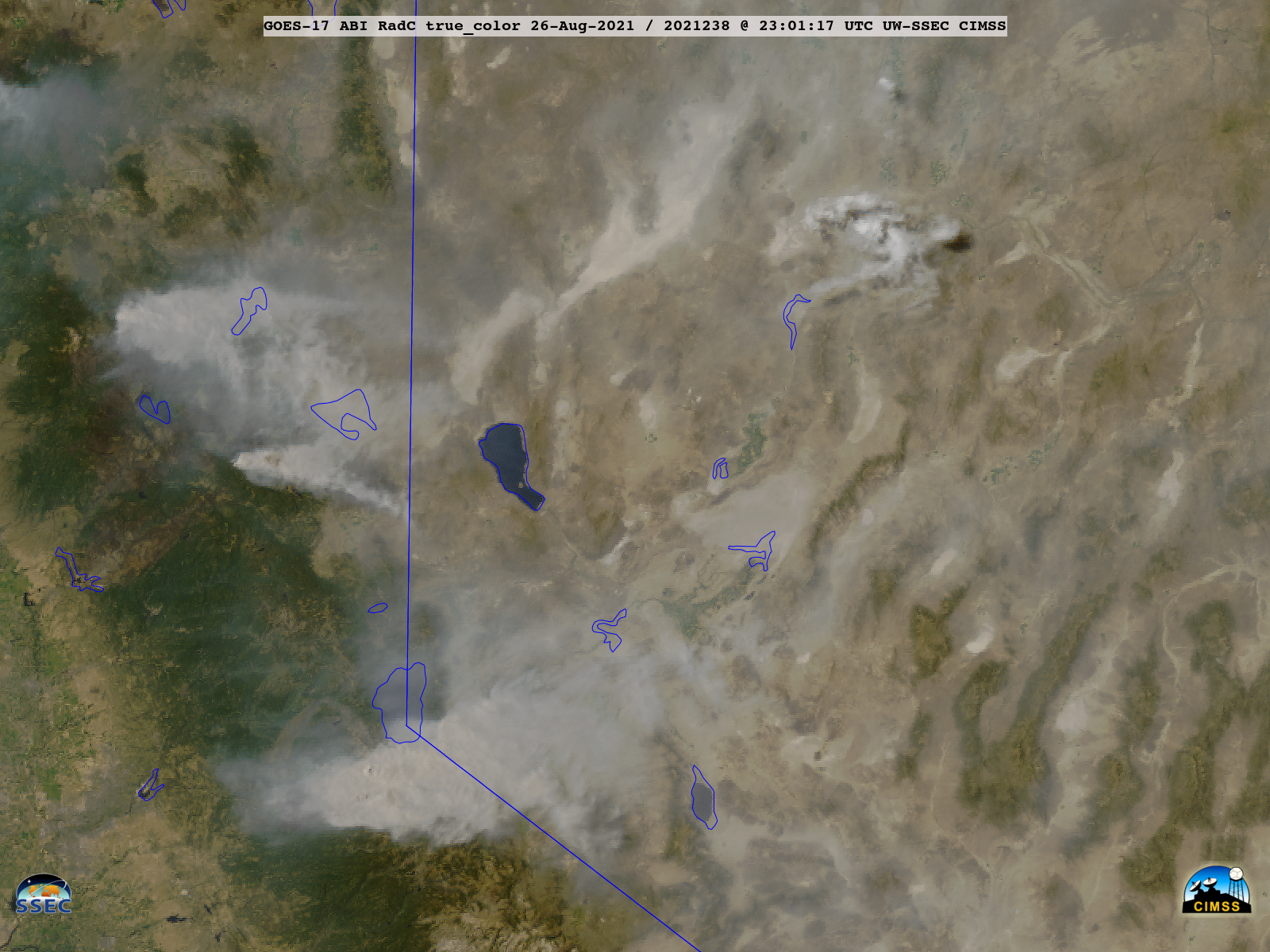
Day Night Band imagery collected from the VIIRS-Today website, above, shows night-time snapshots of the Caldor Fire (discussed previously here, here and here on this blog) as it formed and moved towards Lake Tahoe in August 2021. On 31 August, the last day of the animation, the fire was close enough... Read More