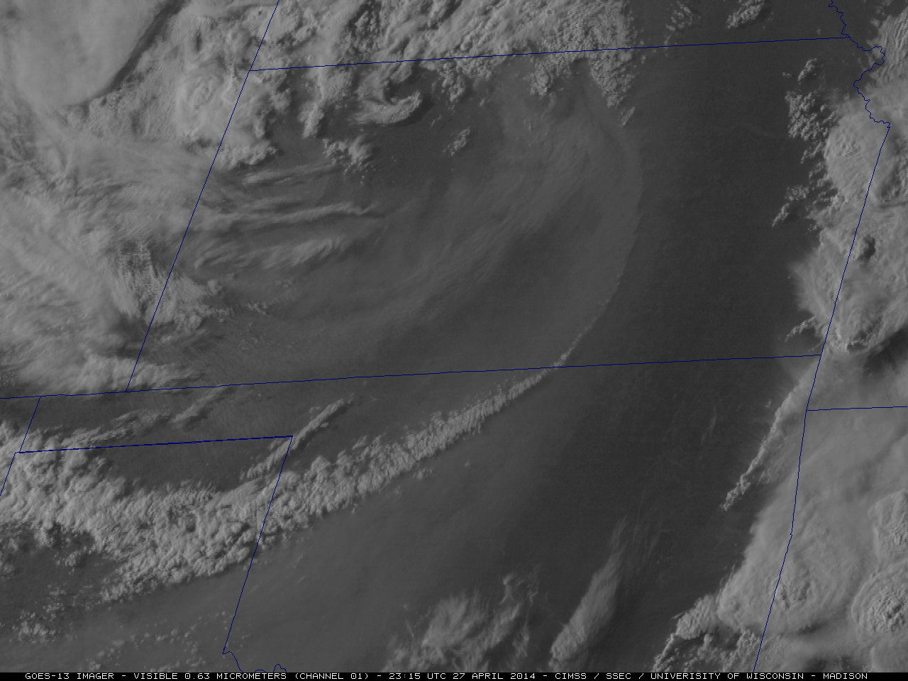
Blowing dust in the central Plains, and a severe weather outbreak in the southern Plains and Lower Mississippi River Valley regions

A Suomi NPP VIIRS true-color Red/Green/Blue (RGB) image visualized using the SSEC RealEarth web map server (above) showed large areas of blowing dust across parts of the central Plains states on the afternoon of 27 April 2014.... Read More


