Possible Sting Jet in Upper Midwest
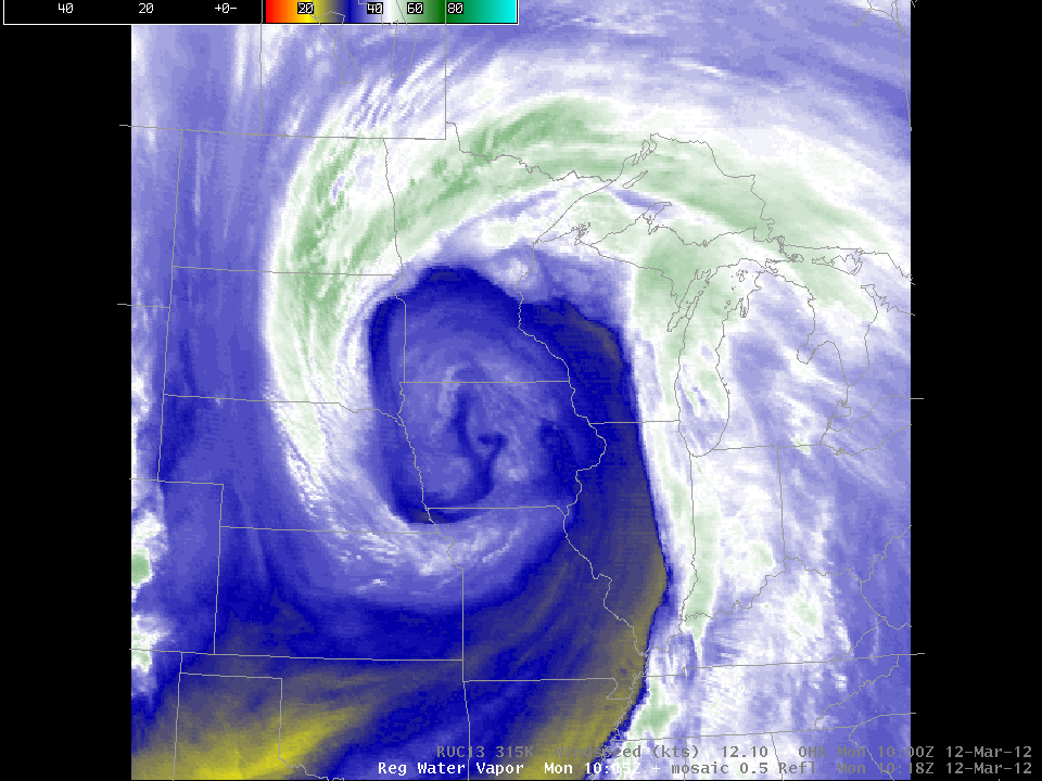
The water vapor animation from GOES-East on March 12th shows a structure rotating through the upper-level trough, which structure looks very much like a so-called “Sting Jet”. (In the animation above, the sting jet structure crosses the Missouri/Kansas border south of Kansas City, propagates across northern Missouri and eastern Iowa before moving northward into Wisconsin). (A more obvious Sting Jet event is discussed here; A Monthly Weather Review article on Sting Jets is here).
RUC wind analyses show that the sting jet structure was associated with a wind maximum on the 315 Kelvin isentropic surface. This Loop shows the maximum moving from northeastern Missouri into Central Wisconsin between 1000 and 1400 UTC on March 12th. Stability in the lower troposphere on March 12th (as suggested by this sounding from the Quad Cities in Iowa/Illinois) was strong enough to inhibit vertical mixing of stronger upper-tropospheric air down towards the surface. The circulation around the jet was sufficient, however, to generate showers over the upper Midwest, as shown in this loop.
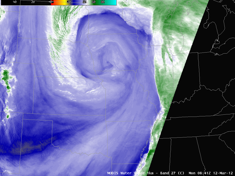
MODIS water vapor imagery, above, from 0841 UTC on 12 March shows the sting jet structure in north-central Missouri, and curving back to central Nebraska and central South Dakota.
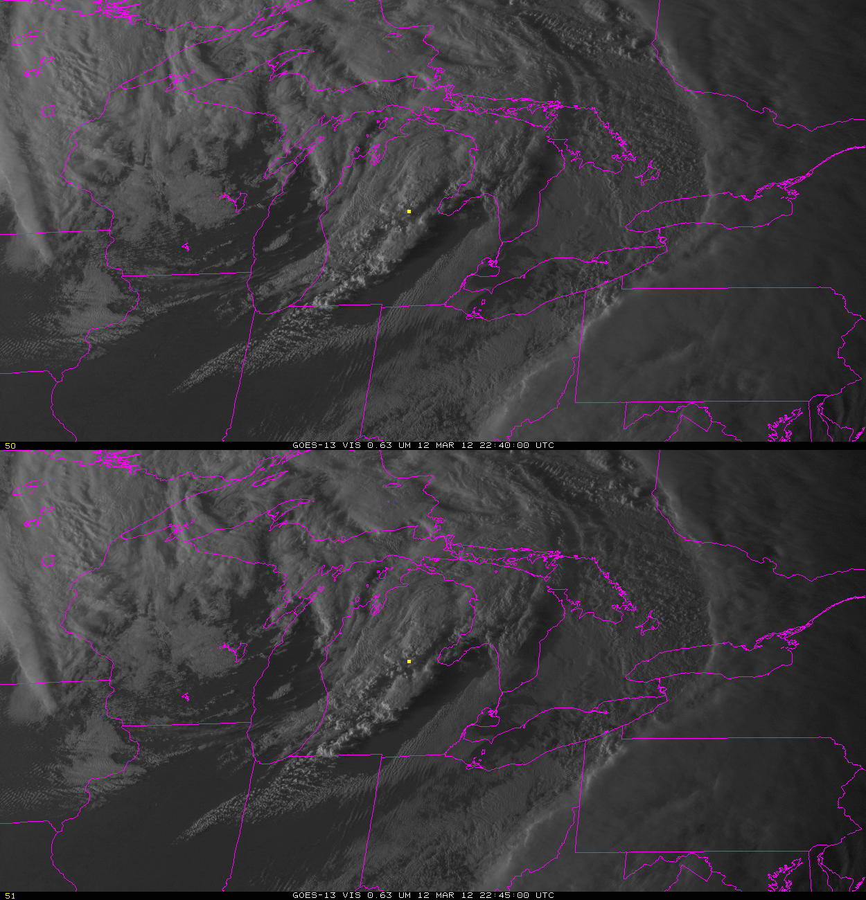
(Added 13 March: SPC Storm Reports show a rare March tornado north of I-69 in lower Michigan. The visible imagery above, bracketing the observed time of the tornado (near the yellow box), shows a strong thunderstorm. By this time, the possible sting jet has rotated northward into western Ontario, so its influence on the environment in Michigan would be secondary. The sounding from DTX at 2300 UTC shows a favorable low-level wind profile.)


