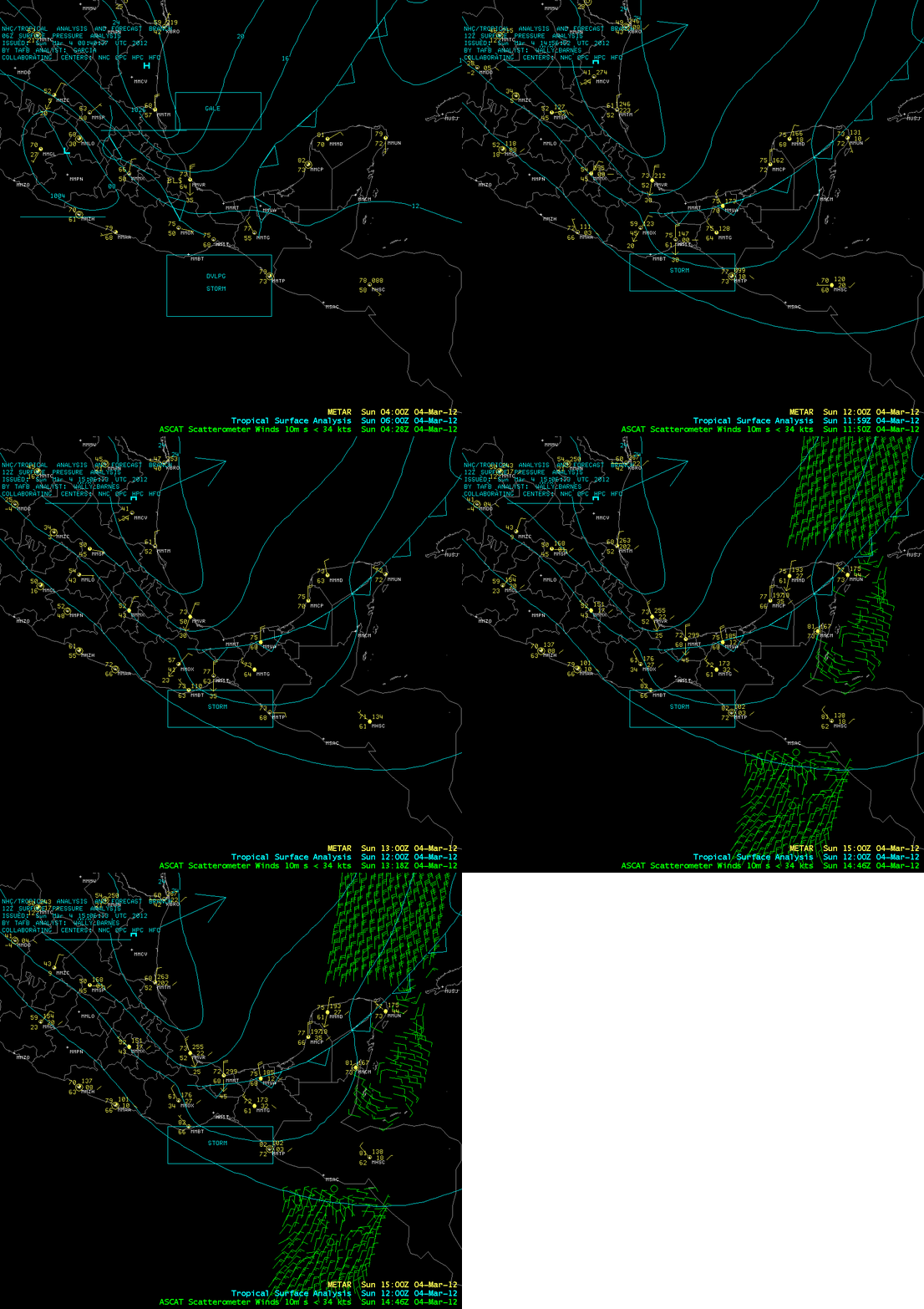
Tehuano wind event following the 02 March 2012 severe weather outbreak
The powerful mid-latitude cyclone that was responsible for the widespread outbreak of severe weather across parts of the eastern US on 02 March 2012 spawned a southward surge of cold air (OPC surface analyses) that traversed the Gulf of Mexico, crossed the mountainous terrain of far southern Mexico, and emerged across the Pacific Ocean as a strong gap wind event known as a Tehuano wind. AWIPS images showing METAR surface reports, Tropical surface analyses, and a pass of ASCAT scatterometer surface winds (above) showed that there was blowing sand reported at Veracruz (station identifier MMVR), with wind gusts to 45 knos at Minatitlan (station identifier MMMT) and 35 knots at Ixtepec (station identifier MMIT).
McIDAS images of GOES-13 0.63 µm visible channel data from 04 March 2012 (below; click image to play animation) showed the cloud arc that marked the leading edge of the Tehuano wind, and also showed the hazy signature of blowing dust that was being lofted southward across the Pacific coast and over the waters of the Gulf of Tehuantepec (hence the name “Tehuantepecer“ given to this type of strong wind event).
A similar Tehuano wind event was seen on 08 March 2008.


