Mesoscale vortex over western Lake Ontario
1-km resolution GOES-13 0.63 µm visible channel images (above; click image to play animation) revealed a mesoscale vortex (or “mesolow”) propagating slowly westward across the western end of Lake Ontario on 21 November 2011. The GOES-13 satellite had been placed into Rapid Scan Operations (RSO) mode, providing images as frequently as every 5-10 minutes. With high pressure located to the north over western Quebec, the surface winds were generally light from the east across the region — and with a stable air mass in place, no precipitation was reported at any of the observing stations as the mesolow approached the coast and moved inland.
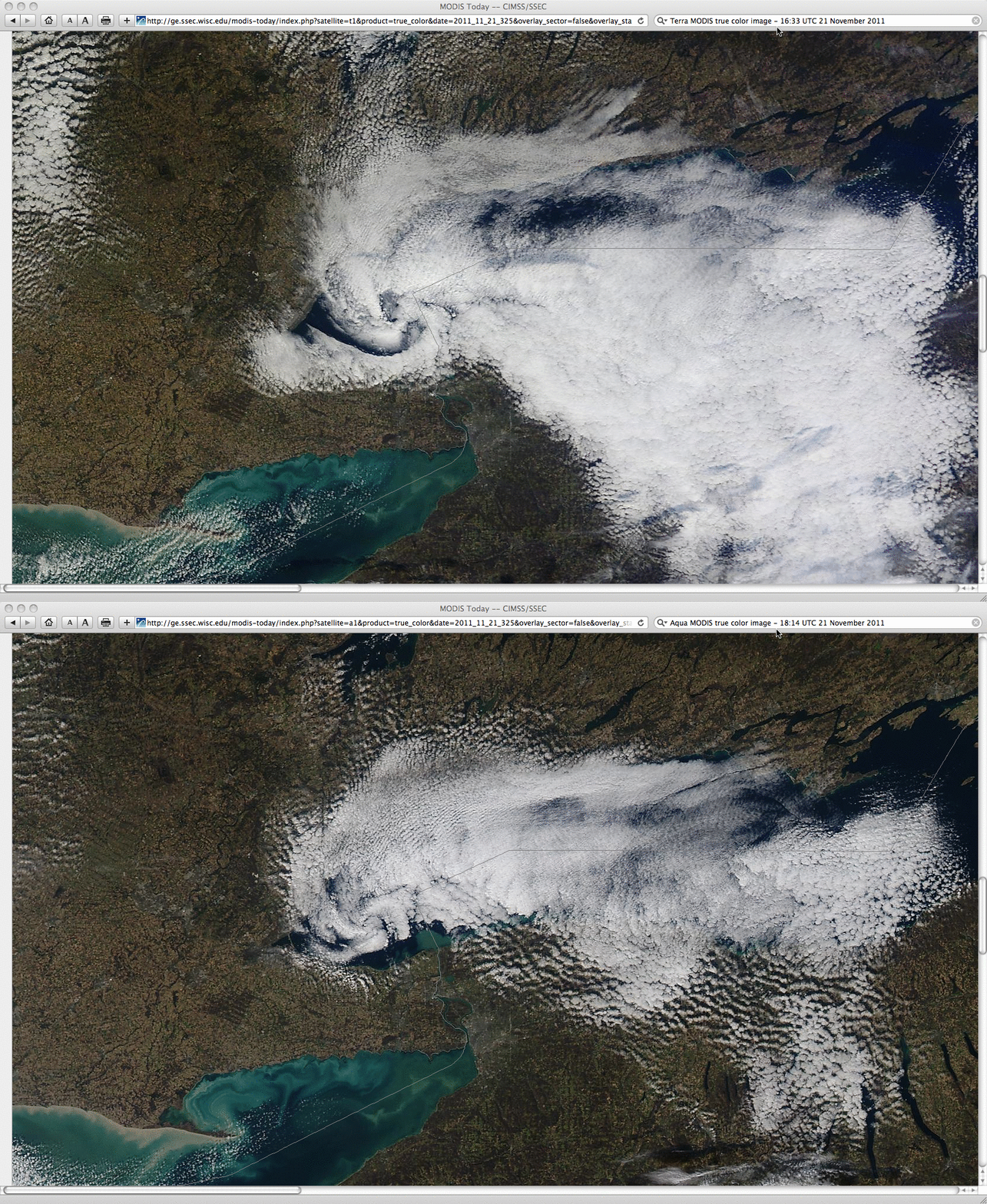
The structure of the mesoscale vortex could also be seen using 250-meter resolution Terra and Aqua MODIS true color images from the SSEC MODIS Today site (below).
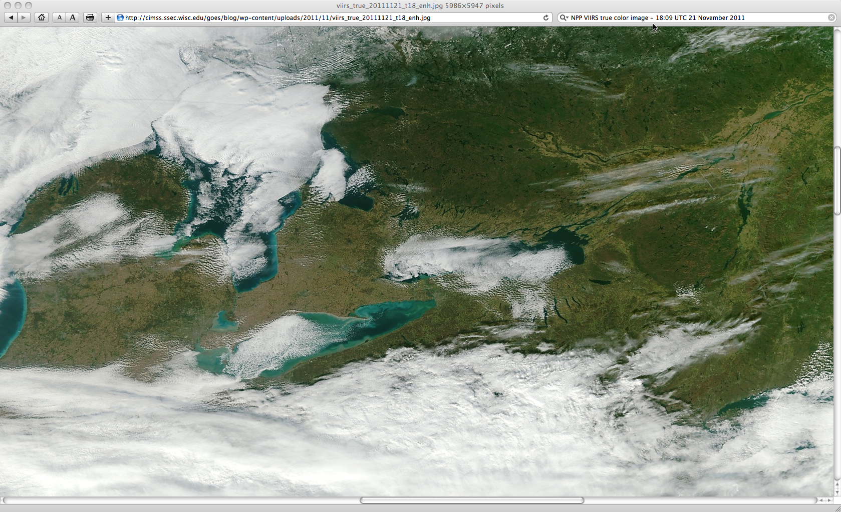
In addition, the mesolow could also be seen on a true color image from one of the early overpasses of the VIIRS instrument on the NPP satellite (below).
Thanks to David Zaff and Robert Hamilton of the NWS Buffalo forecast office for bringing this feature to our attention!


