Satellite products for interrogating low clouds
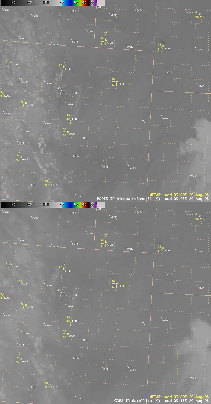
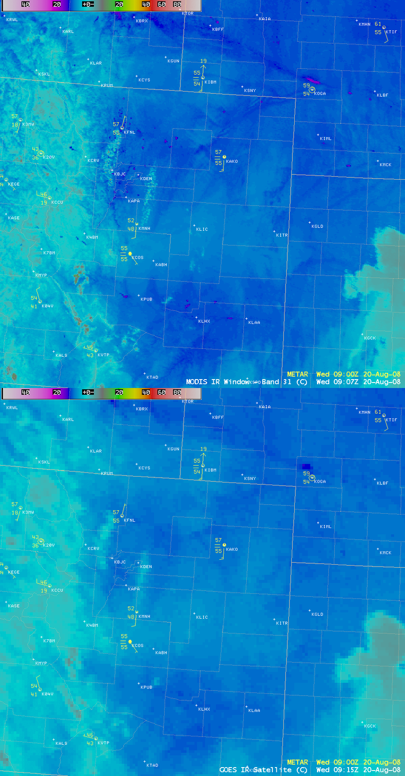
Areas of low cloudiness (such as stratus and/or fog) at night can be important aviation hazards, but they are sometimes difficult to identify simply by examining standard IR imagery. A comparison of 1-km resolution MODIS 11.0 µm and 4-km resolution GOES-12 10.7 µm “IR window” images (above) does not give the sense that there was widespread fog and stratus clouds in place over much of eastern Colorado during the pre-dawn hours on 20 August 2008. Even with a color enhancement that highlights the warmer range of IR brightness temperatures (below), the edges of the low cloud feature are difficult to pick out unambiguously.
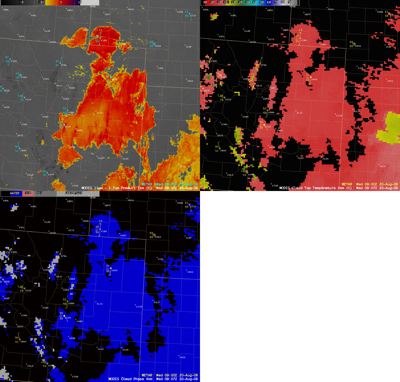
There are a variety of satellite products available in AWIPS that can be used to better identify and characterize areas of low cloudiness and fog. In this case, the 1-km resolution MODIS fog/stratus product (below) showed very good details about the edges and structure of the area of low clouds and fog, with the corresponding 4-km resolution MODIS Cloud Top Temperature and Cloud Phase products indicating that the cloud tops over eastern Colorado were composed of water droplets (blue enhancement) with cloud top temperatures around +5º C (red enhancement). However, note that there was another separate area of supercooled cloud tops farther to the east (located over western Kansas), where the Cloud Top Temperatures were below freezing (yellow enhancement) while the Cloud Phase product still indicated water droplet clouds (blue enhancement) — regions such as this might pose a higher risk for aircraft icing.
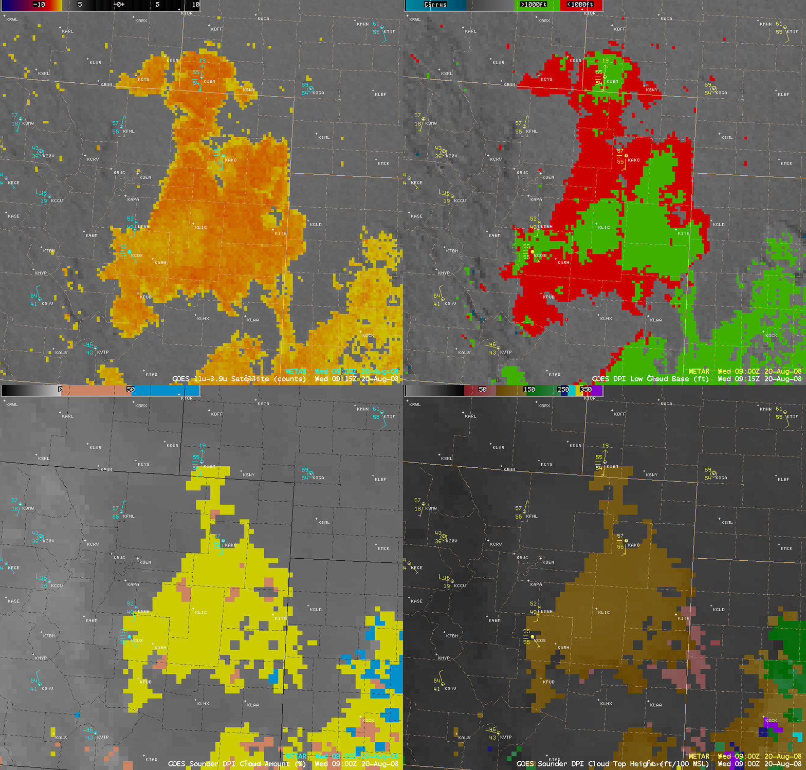
Using the GOES-12 satellite, one can examine the 4-km resolution fog/stratus product (below), and also utilize the 4-km resolution Low Cloud Base product along with the 10-km resolution sounder-derived Effective Cloud Amount and Cloud Top Height products to gain additional information about the cloud base height, cloud coverage, and cloud top height.


