Fatal EF1 tornado event in Wausaukee, Wisconsin

GOES-13 0.63 µm visible channel images
A tornado produced EF1 damage and was responsible for one fatality (NWS Green Bay summary) as it moved though the town of Wausaukee in far northeastern Wisconsin during the late afternoon hours on 19 August 2011. This event brought the number of tornado deaths to 550 so far in 2011, making this the 4th deadliest year on record so far in terms of tornado-related fatalities.
McIDAS images of 1-km resolution GOES-13 0.63 µm visible channel data (above) showed the development of the thunderstorm along the Wisconsin/Michigan border region around 18:00 UTC (1:00 pm local time), which then moved southeastward ahead of an advancing cold frontal boundary. The “W” overlaid on the images indicates the location of Wausaukee. Some features to note on the GOES visible imagery include: (1) the formation of a series of northwest-to-southeast oriented boundary layer horizontal convective roll clouds in the vicinity of Iron Mountain (station identifier KIMT), which marked the location of a residual convective outflow boundary from a squall line which moved eastward across the Upper Peninsula of Michigan during the early morning hours on 19 August, (2) subtle storm top shadowing indicating the presence of vigorous overshooting tops, and (3) the development of a well-defined back-sheared storm top anvil along the western edge of the storm toward the end of the animation. A photo of the back-sheared anvil was taken from the Green Bay, Wisconsin area around 00:40 UTC, looking northeast toward the storm (below, courtesy of Peg Zenko).
")
Photo of back-sheared anvil (courtesy of Peg Zenko)
AWIPS images of 4-km resolution GOES-13 10.7 µm IR channel data (below) showed that cloud top IR brightness temperatures associated with this storm cooled to about -60ºC (darker red color enhancement), but no distinct “enhanced-v” or other severe storm top signatures were apparent.

GOES-13 10.7 µm IR channel images
However, about an hour and 45 minutes before the tornado moved through Wausaukee, a comparison of a 1-km resolution POES AVHRR 10.8 µm IR image with the corresponding 4-km resolution GOES-13 10.7 µm IR image around 20 UTC (below) illustrated the distinct advantage of higher spatial resolution for detecting the presence of colder overshooting cloud tops (-69ºC on POES AVHRR, compared to -57ºC on GOES) as well as important cold/warm thermal couplets (the POES AVHRR image displayed a well-defined cold/warm thermal couplet of -69ºC/-49ºC).

POES AVHRR 10.8 µm IR image + GOES-13 10.7 µm IR image
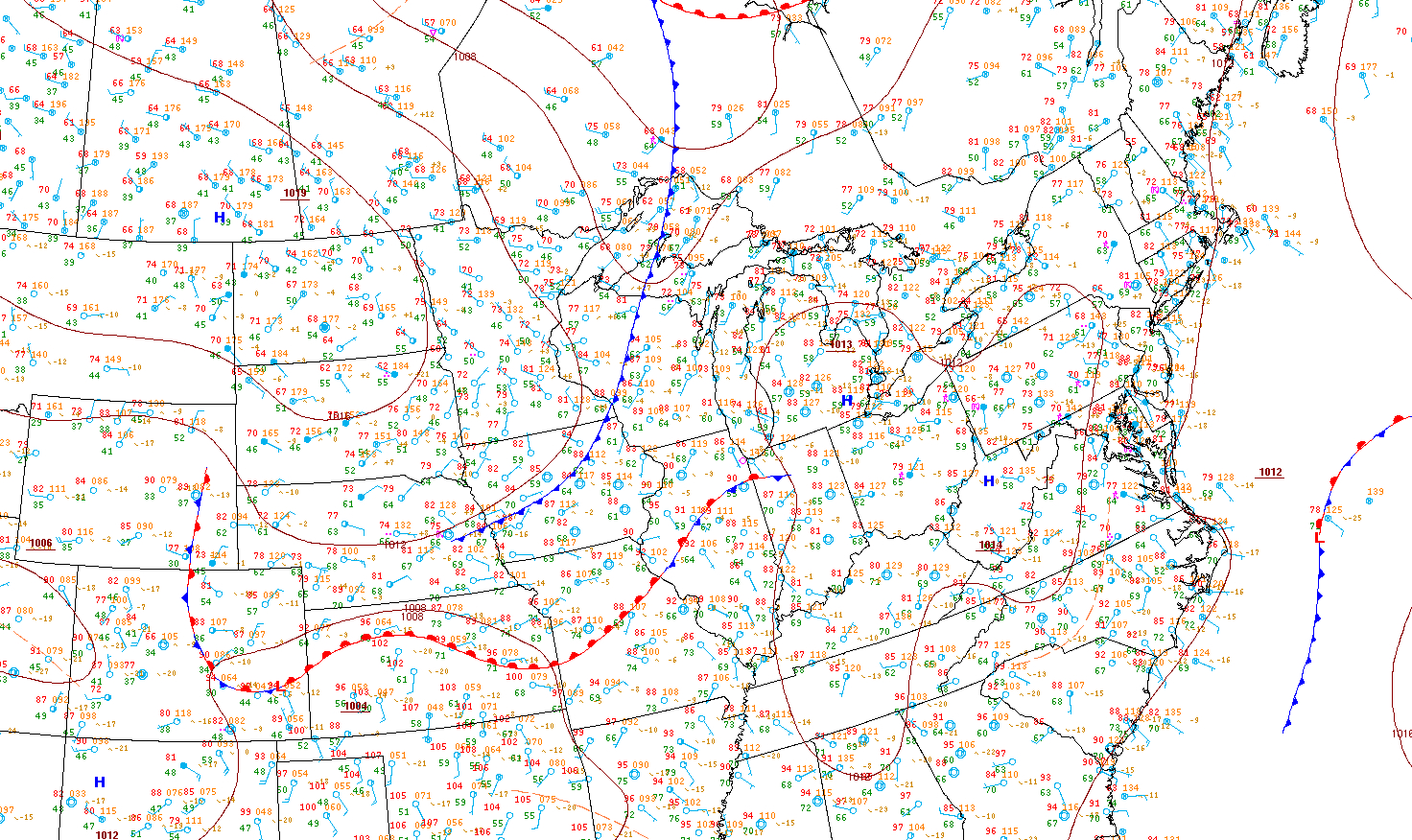
The GOES-13 sounder Convective Available Potential Energy (CAPE) derived product image at 19:00 UTC (below) revealed that there were pockets of CAPE in the 2300-2900 J/kg range (brighter yellow color enhancement) just ahead of the developing storm, which at that time was centered just west-northwest of Land O Lakes, Wisconsin (station identifier KLNL).
")
GOES-13 sounder Convective Available Potential Energy (CAPE)