Tropical Storm Gert
The Atlantic Tropical Season’s seventh named storm, Gert, was southeast of the island of Bermuda on Monday August 15th on a projected path that keeps it well to the east of Bermuda. The morning full-resolution visible imagery (above) from GOES-13 (left) and GOES-14 (right) show a well-defined Central Dense Overcast through which are penetrating a few overshooting tops. These tops are far more easily visualized with the more oblique viewing angle afforded by GOES-14 (overhead at 105º West Longitude vs. 75º West Longitude for GOES-13). AVHRR Infrared Imagery from NOAA-16 shows brightness temperatures below -75º C with the coldest of the overshoots.
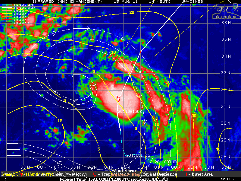
Gert is at present in a region of small shear, as shown in the analysis above taken from the CIMSS tropical weather website. However, the projected path is towards higher shear. Strengthening to hurricane status may be difficult because of the increase in shear and because of progressively colder water along the projected path of Gert into the northern Atlantic. There has not yet been a hurricane season in the Atlantic during which none of the first 7 named storms — ‘A’ through ‘G’ — achieved hurricane status. (In 2002, Gustav was the first Hurricane after 6 Tropical Storms).


